Day 2 of the 2021 Coaledo Formation Field Trip
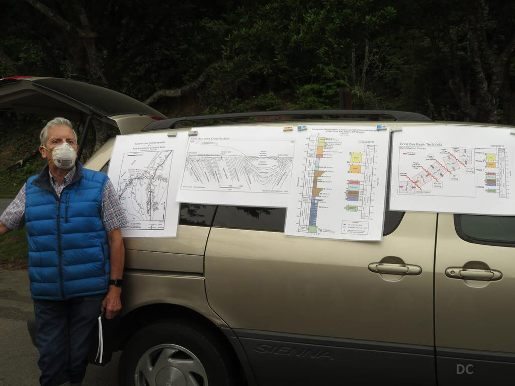
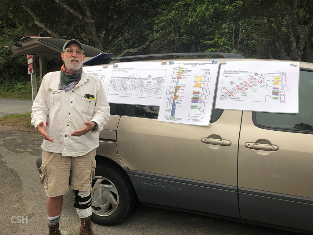
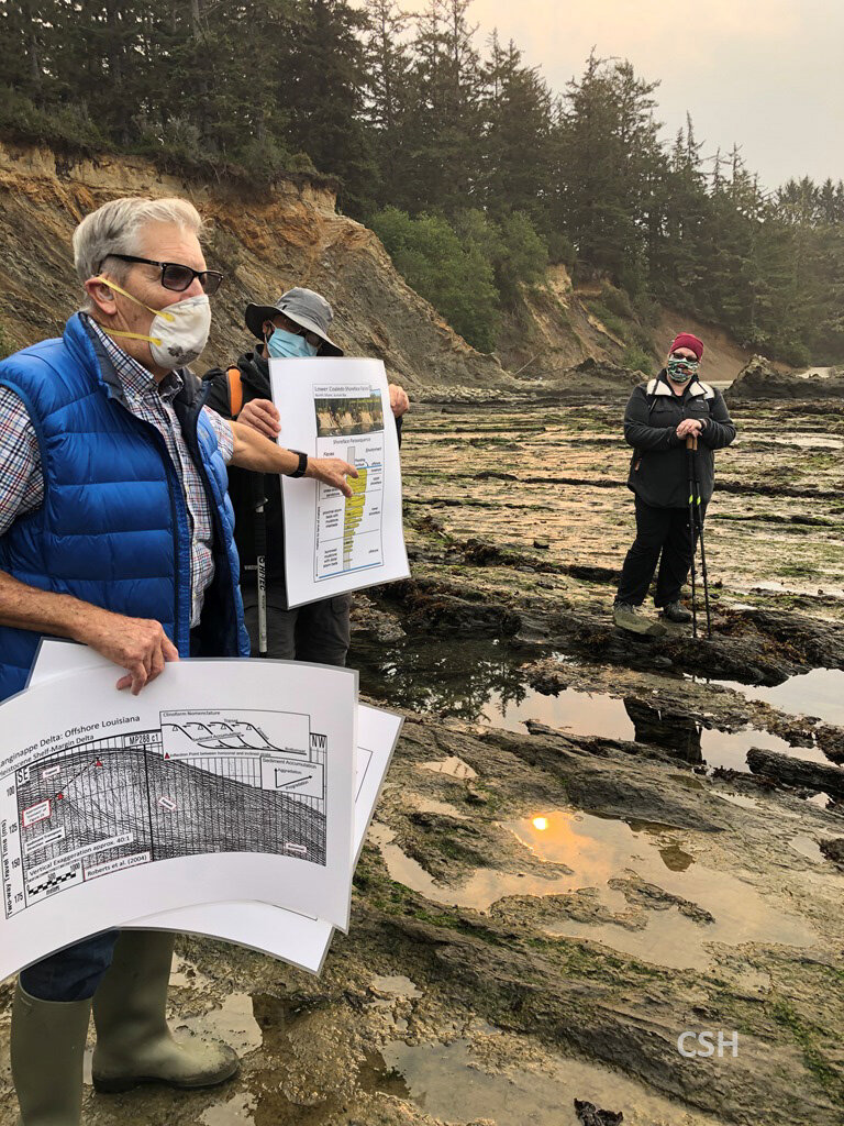
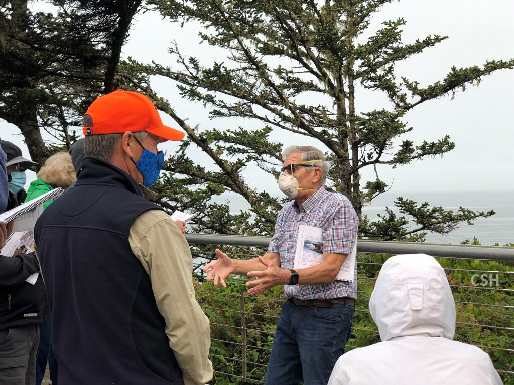
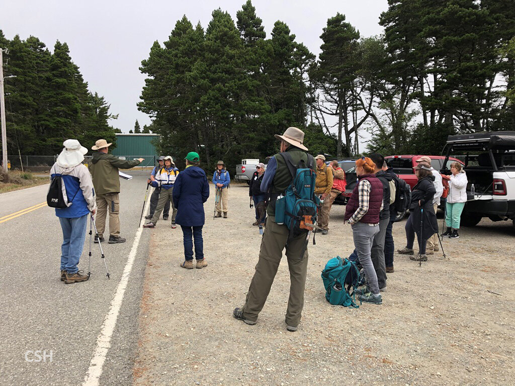
/The next morning we met John Armentrout and David Blackwell, another University of Oregon geologist who has been working on the Coaledo project. They had a great introductory presentation in the parking lot there at Sunset Bay State Park, reviewing the tectonic environment, the directions of stress on the sedimentary material, etc. The Coaledo Formation, deposited between 45 and 39 million years ago, was folded in at least two wave-forms from compression stresses generated by the Cascadia subduction zone in the Eocene and Oligocene. There is an anticline (hump) between the offshore Simpson Reef formation and the Cape Arago shoreline. Thus the Coaledo layers at the shoreline dip eastward at a steep angle. The sedimentary layers younger than 25 million years do not have nearly the same steep angle, and this brackets the time of the deformation.
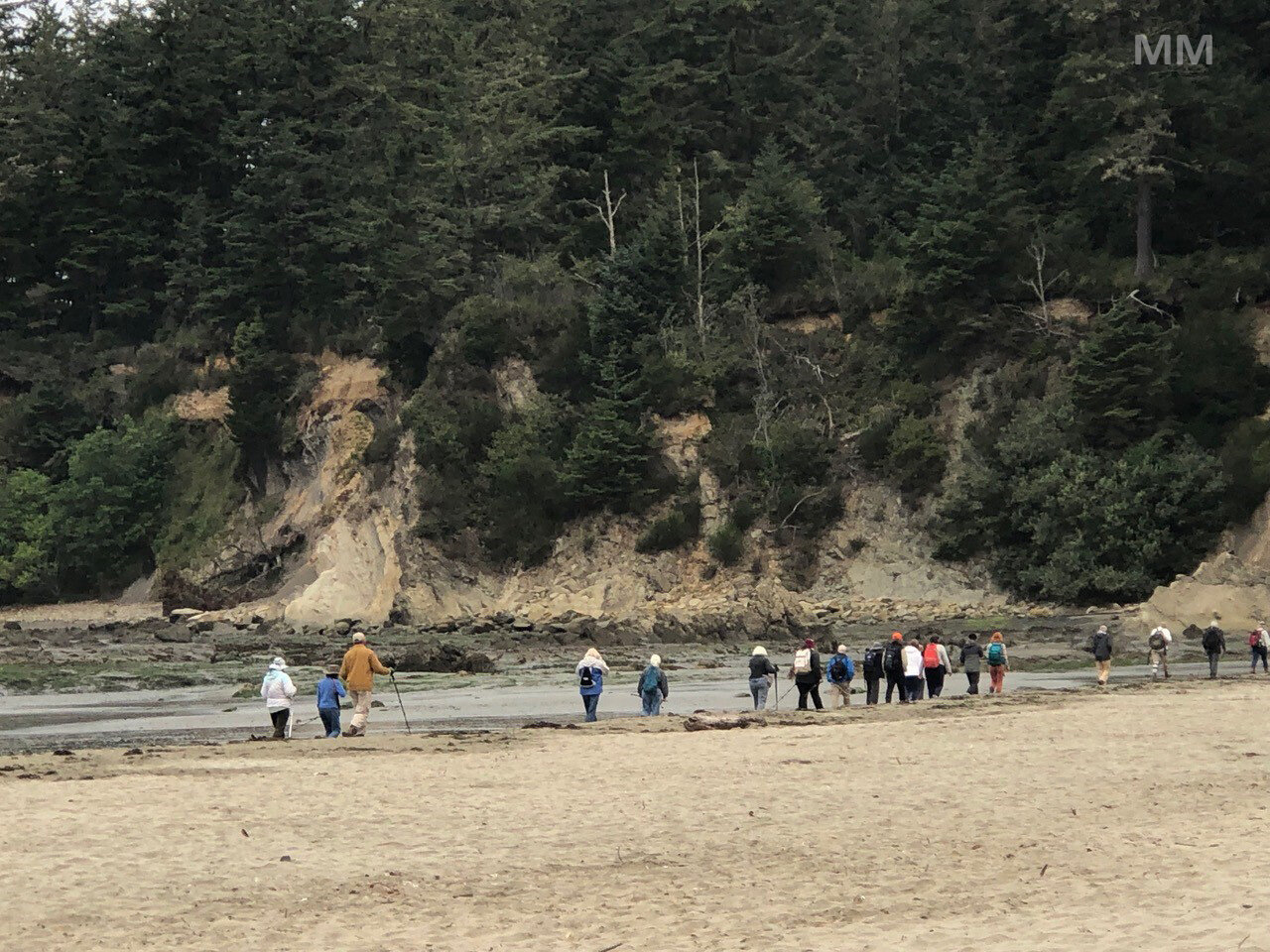
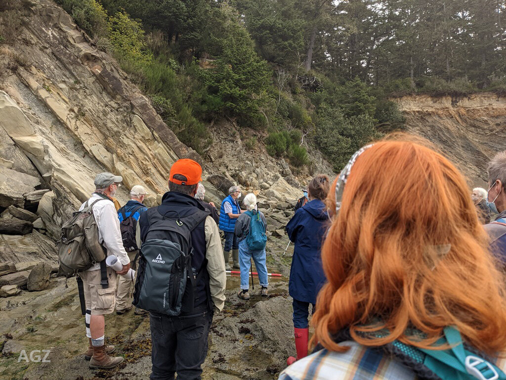
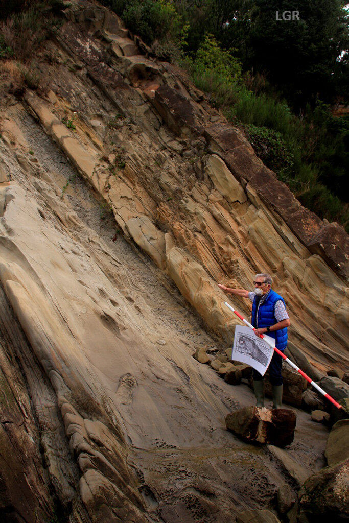
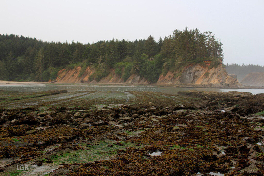
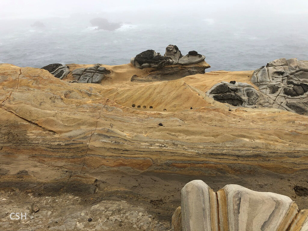
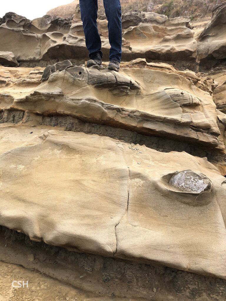
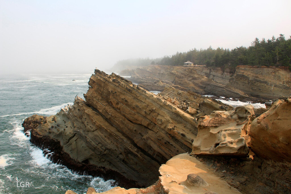
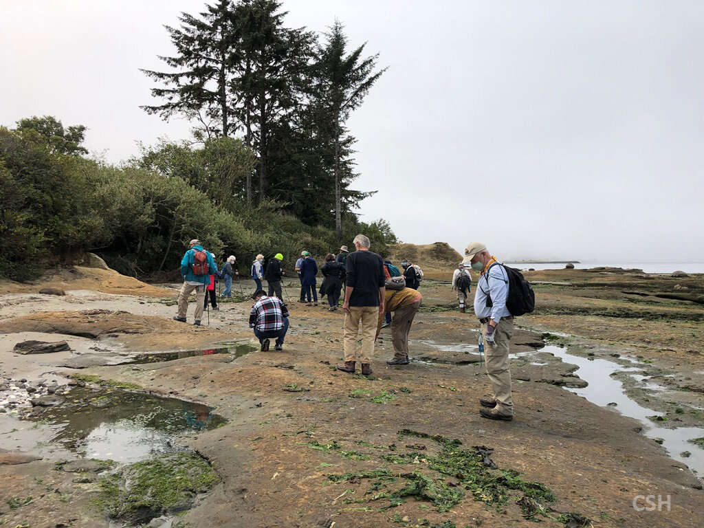
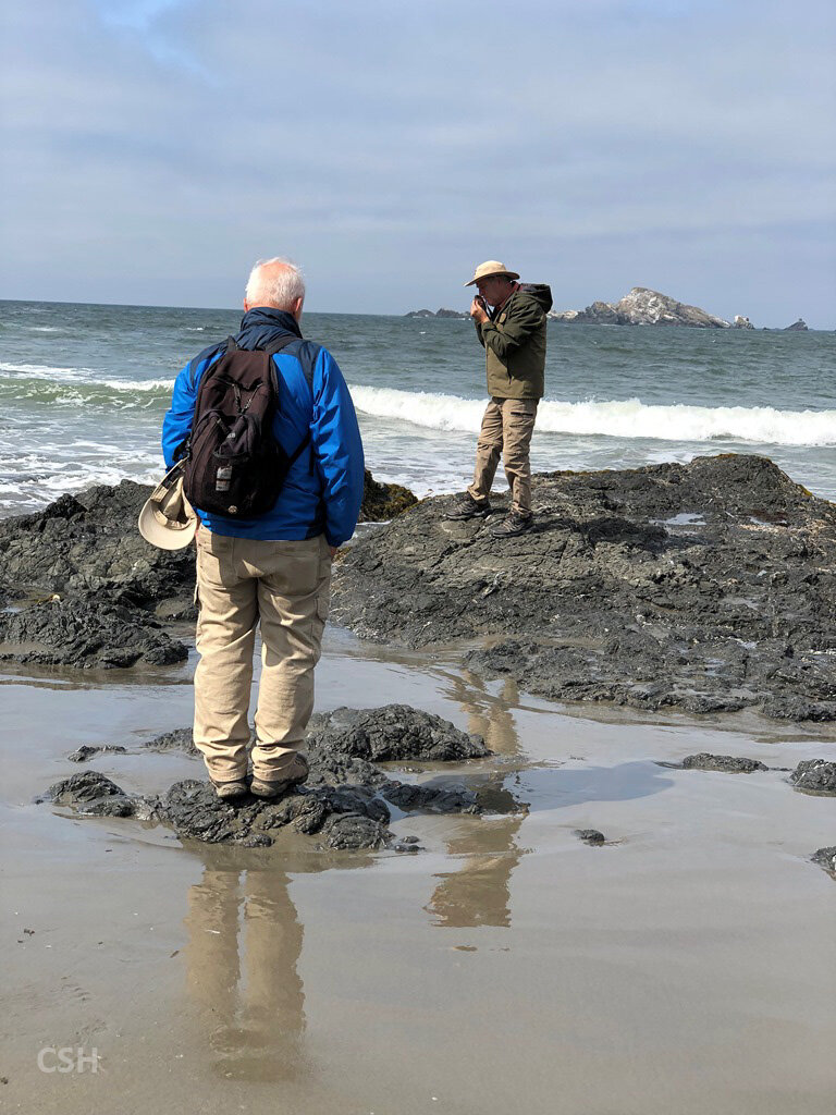
After the presentation, we literally got our feet wet heading out into Sunset Bay to the exposed terrace on the north side of the bay. Armentrout pointed out how the cyclical processes involved in the deposition create patterns, called parasequences, that begin as muddy layers in a flooded area that gradually give way to sandy shoreline strata as the shoreline progrades seaward. The group carefully made their way out over the muddy and slimy rock outcrops to examine the sandier early Middle Coaledo stratigraphy towards the entrance to the bay. Shoreward the parasequences contained much more mud, showing a deepening trend to the basin in the later parts of the Middle Coaledo.
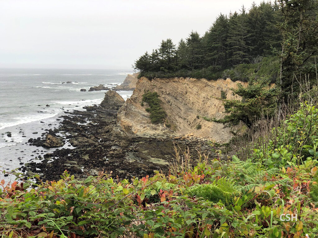
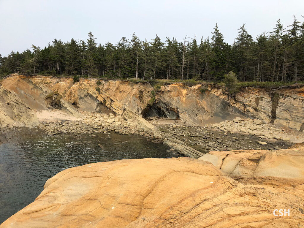
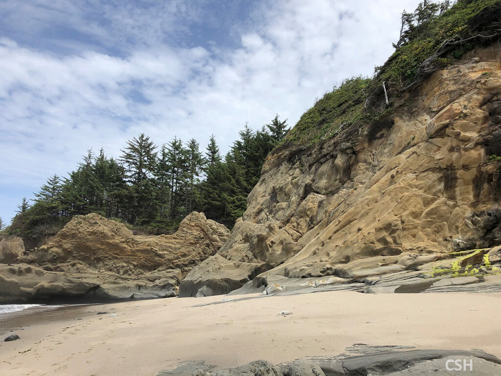
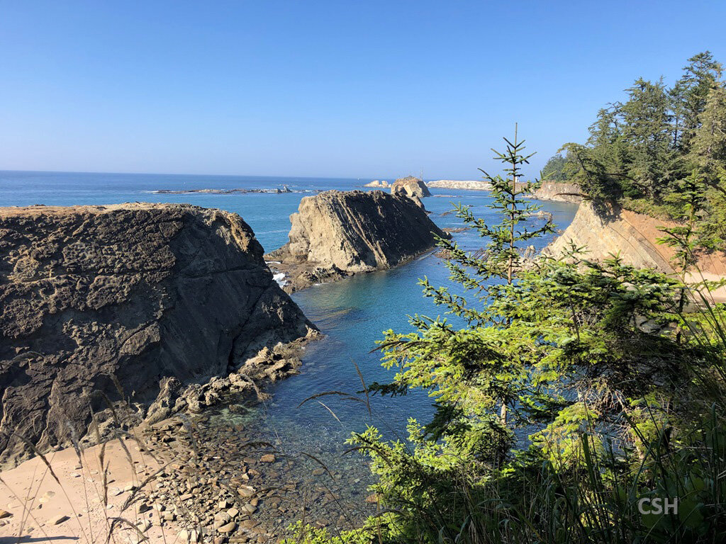
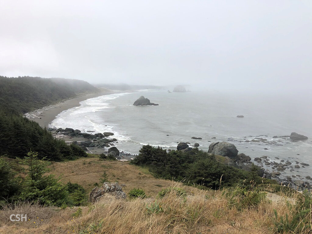
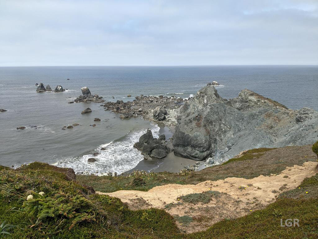
I’ve mentioned the Middle Coaledo being found at Sunset Bay, and as one goes from the Fivemile Point area north of Bandon, the sediments along the Oregon coast get progressively younger as one travels northward. Therefore, as the group headed southward from Sunset Bay to Cape Arago, the shoreline goes deeper into time to the Lower Coaledo Formation and then to the Beds of Sacchi Beach. So, on stop 2 at Simpson Reef one sees the Lower Coaledo atop the Beds of Sacchi Beach, and at stop 3 Cape Arago all the stratigraphy is the Beds of Sacchi Beach.
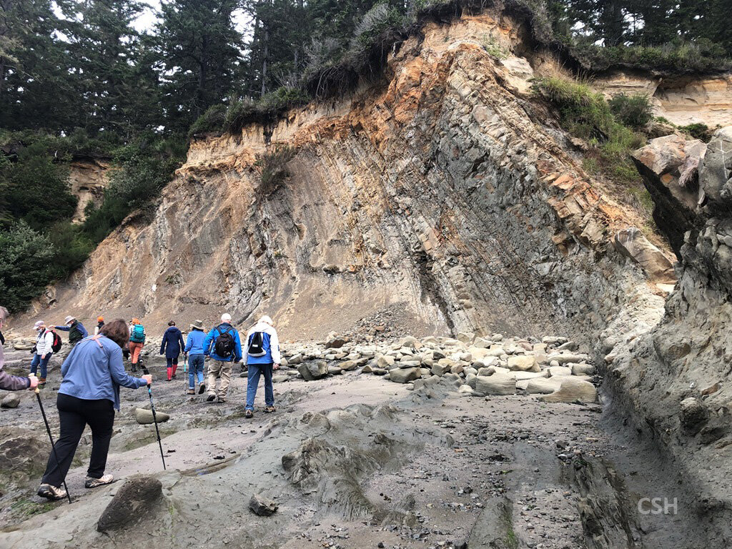
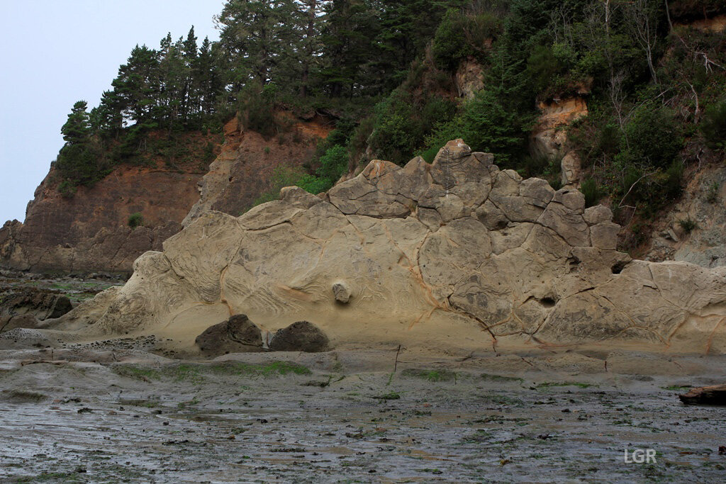
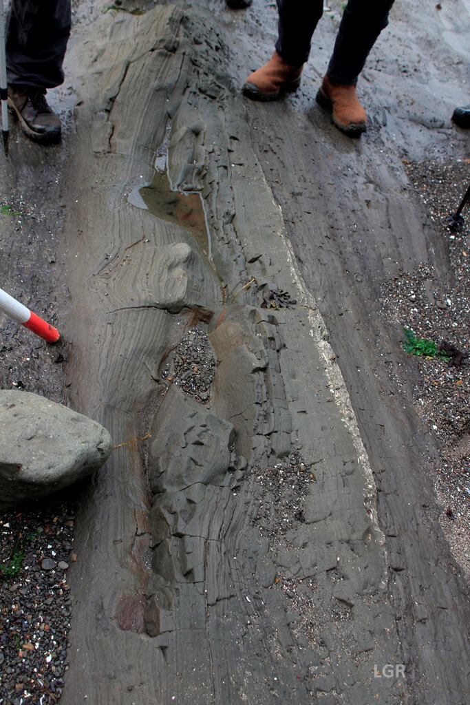
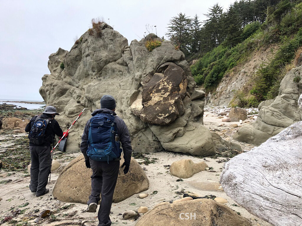
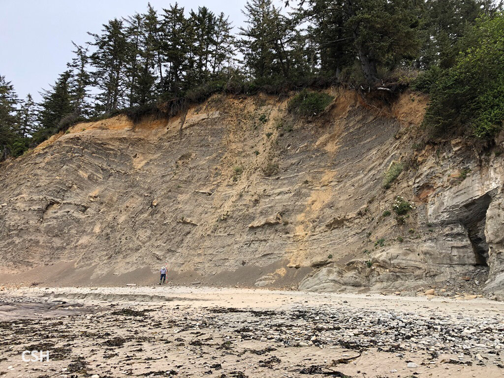
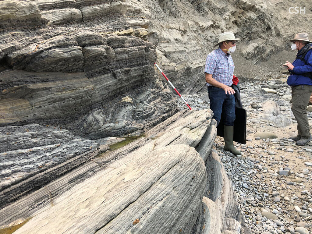
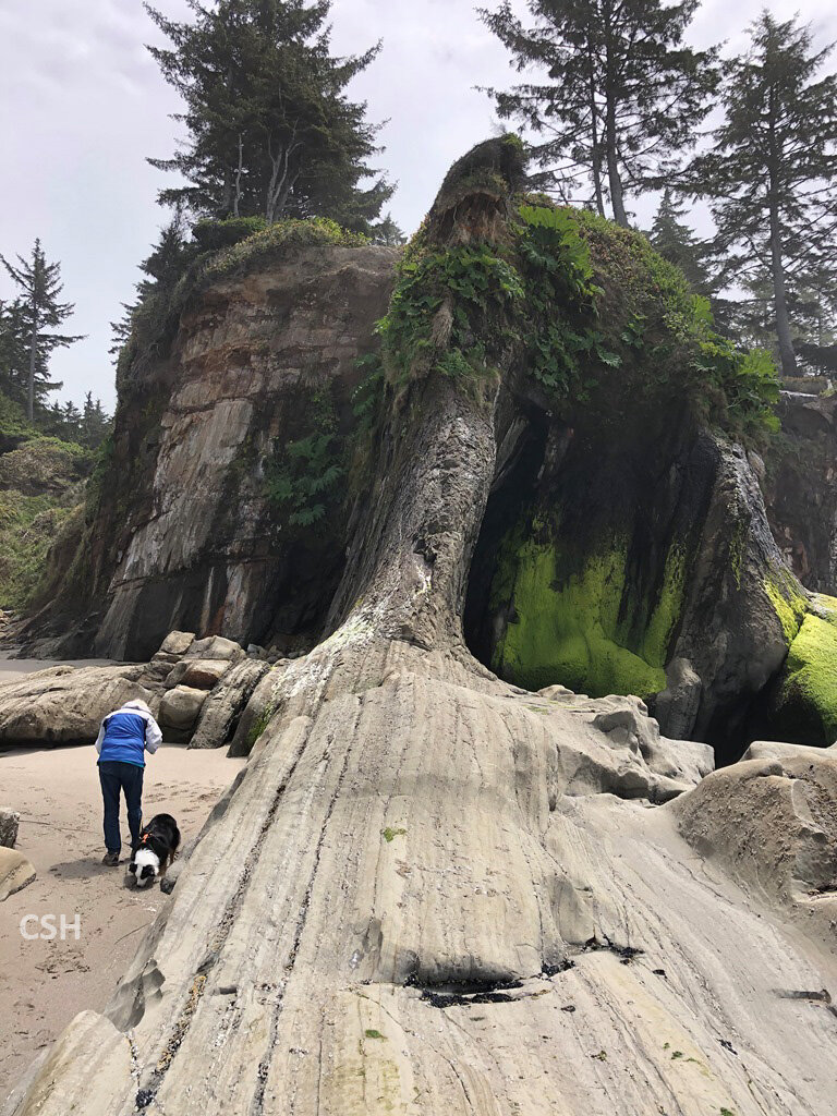
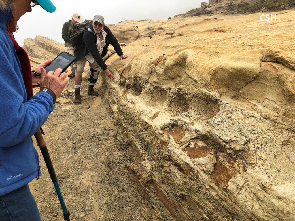
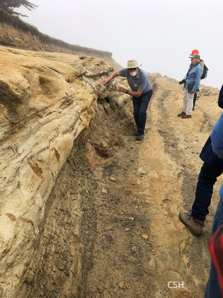
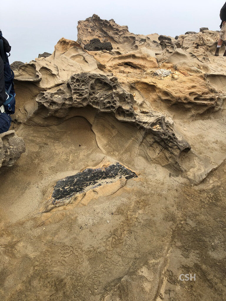
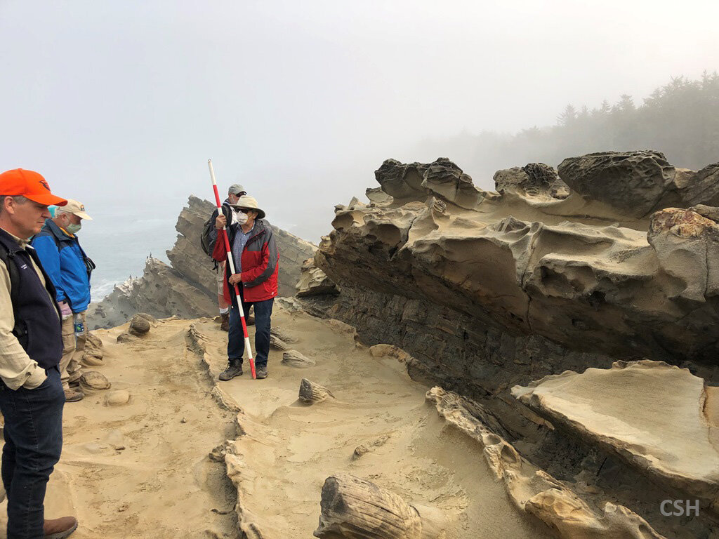
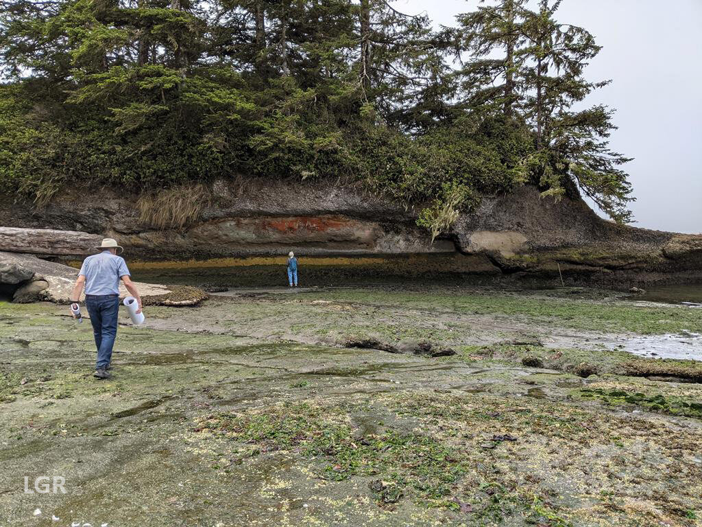
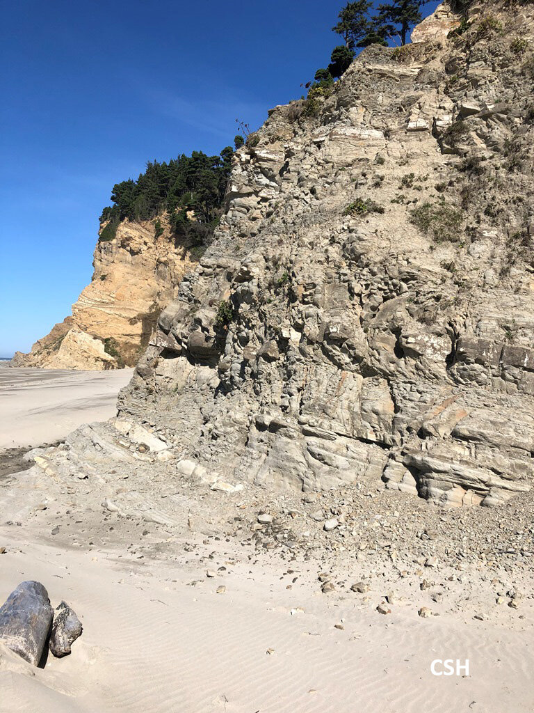
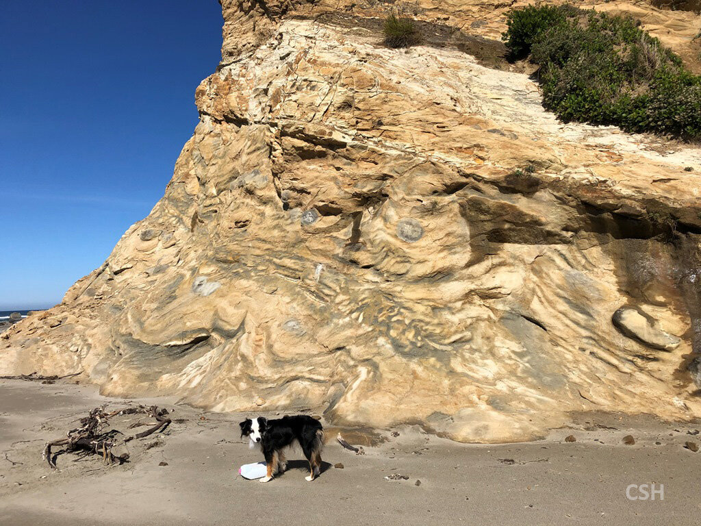
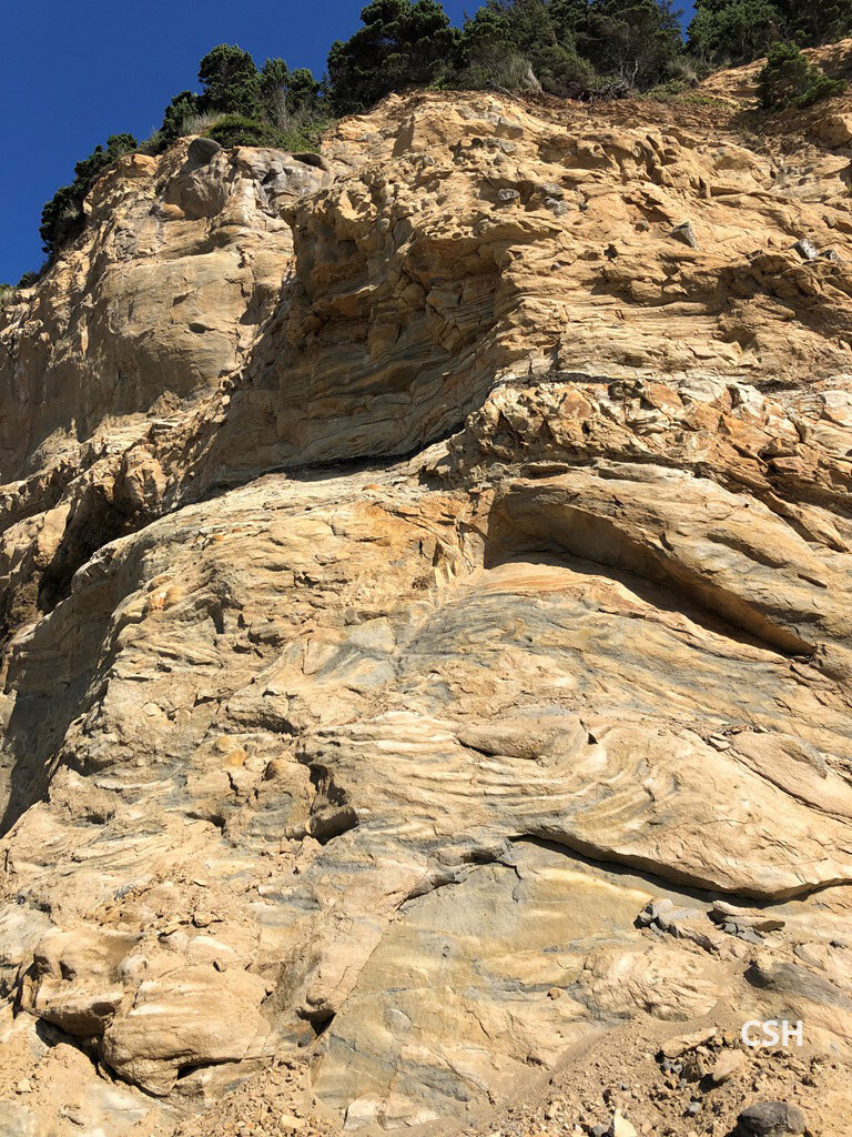
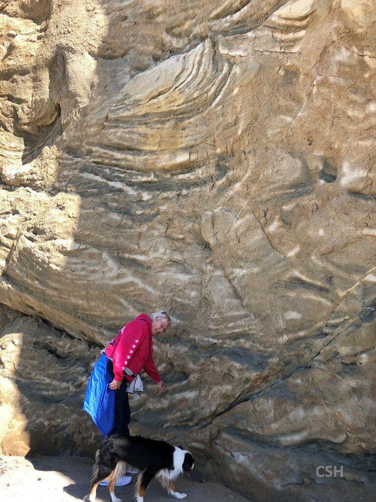
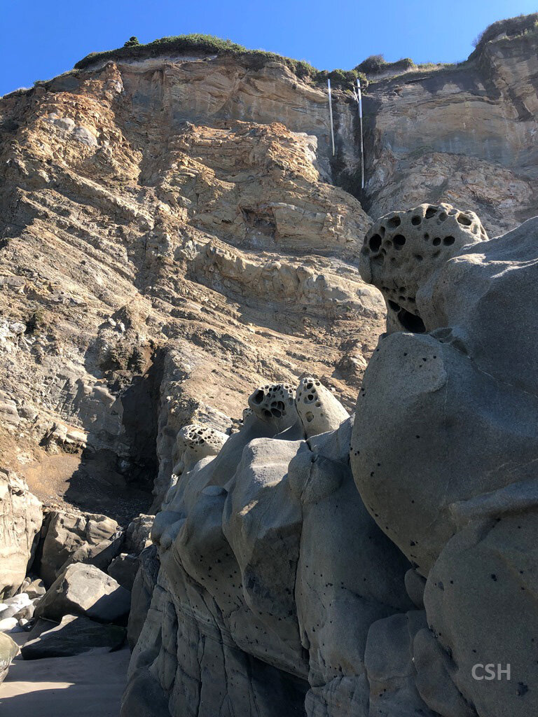
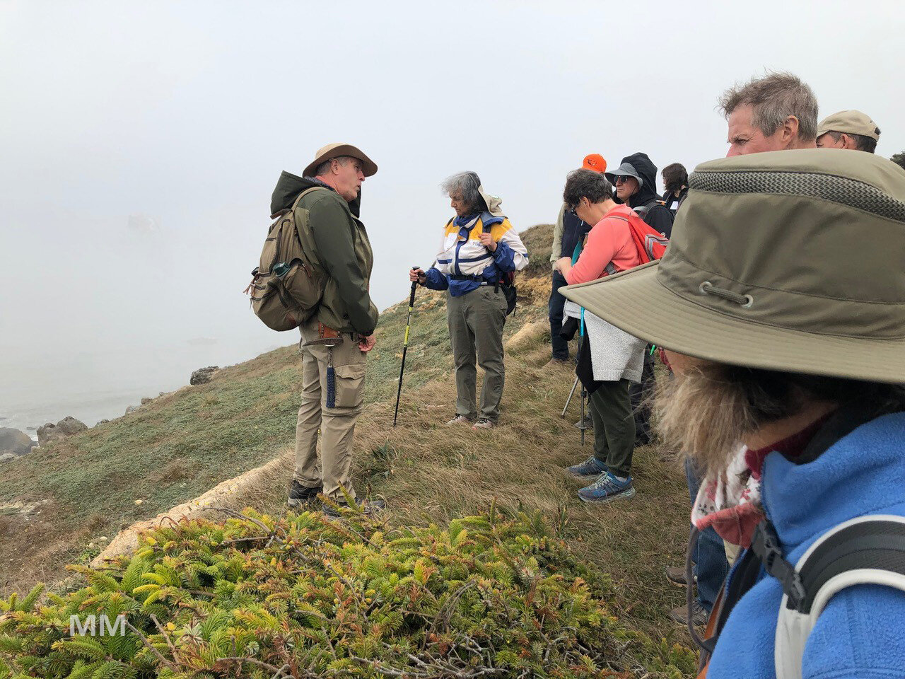
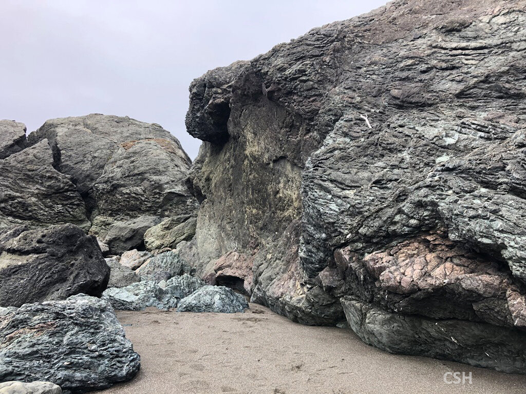
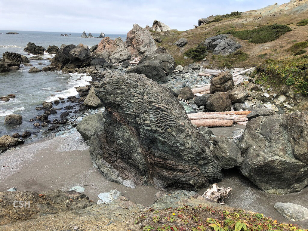
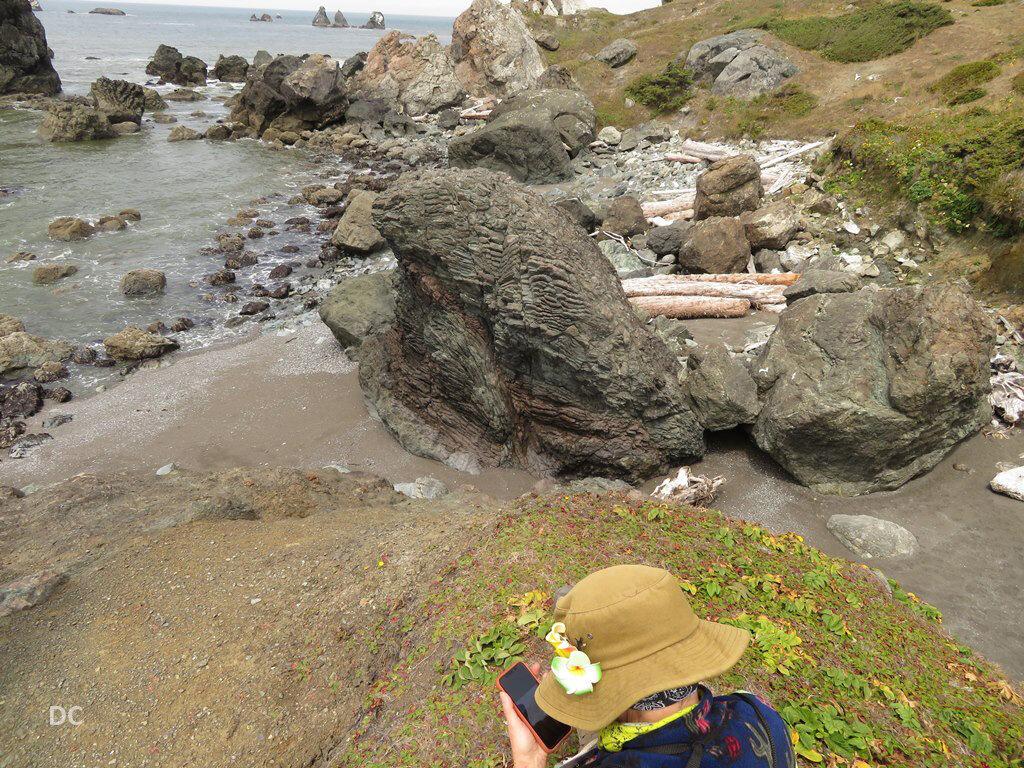
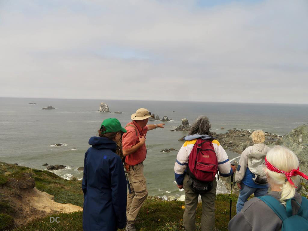
Armentrout chose for the group to visit the North Cove at Cape Arago rather than the easier-to-reach South Cove because he and his research team had made significant finds there. One of these was a massive channel form in the cliff face. Although the channel had been carved by abrasive sand, it eventually fills with “mud, glorious mud” and is the “smoking gun” pointing in the direction of flow to where oil prospectors might find where all that mud is resting. If the deposited organic-rich mud gets a chance to be cooked it may produce oil or natural gas. Another feature was a cliff face whose lower part consisted of large blocks of layers tilted in a variety of angles, probably the result of a landslide. Since this material was mud and sand layers sitting on a sloped surface, it was often subject to instability. Armentrout pointed out a swirly layer between two tabular sections, indicating an unstable layer that had produced a slide.

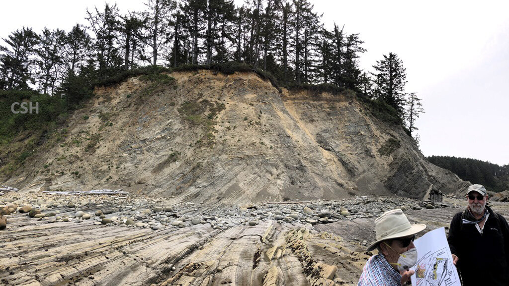
Map of the Cape Arago area showing the planned stops of Days 2 and 3. We deviated from the original plan, so I have just labeled the main features to orient the reader.
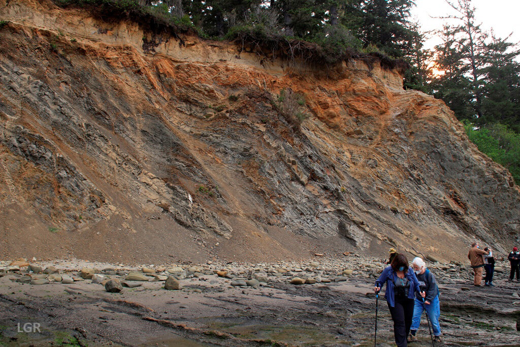
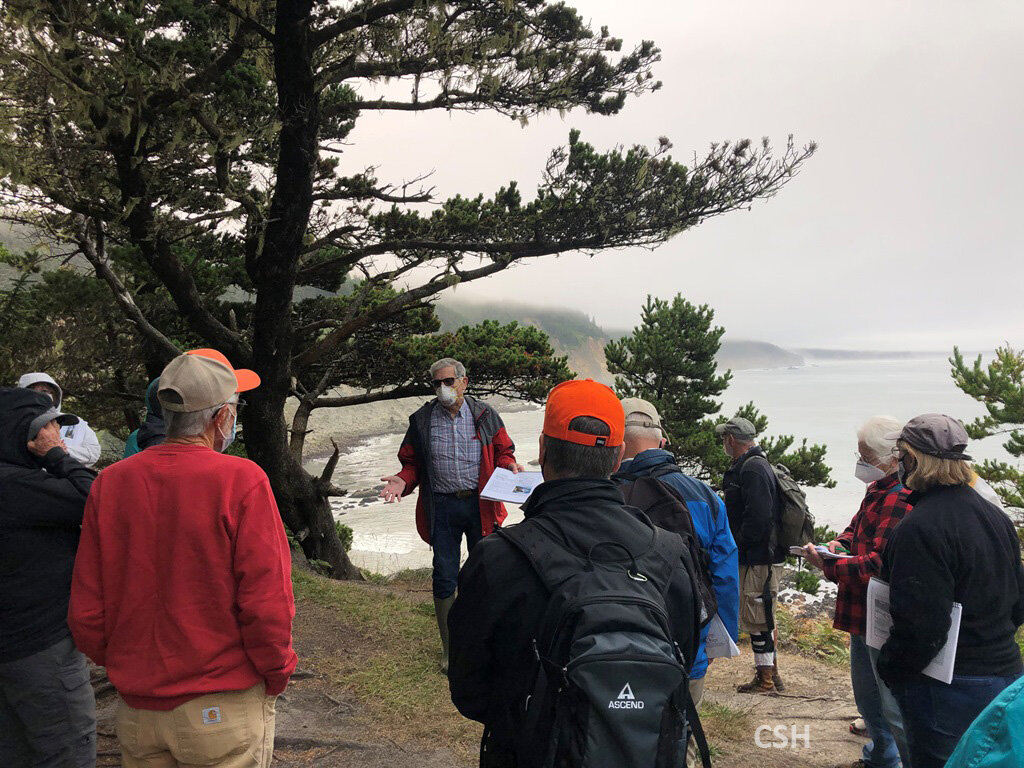
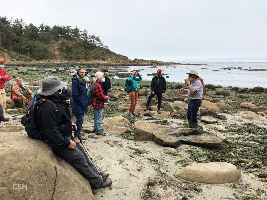
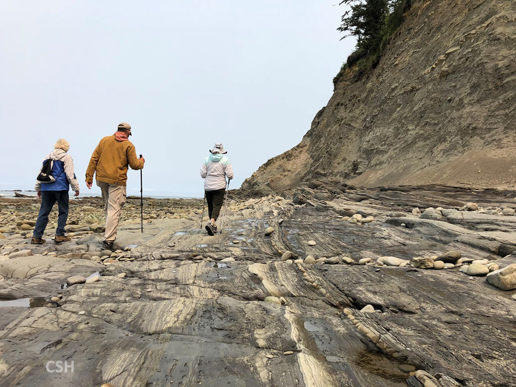
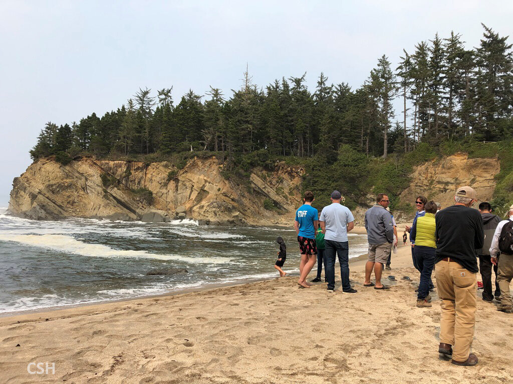
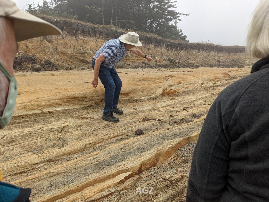
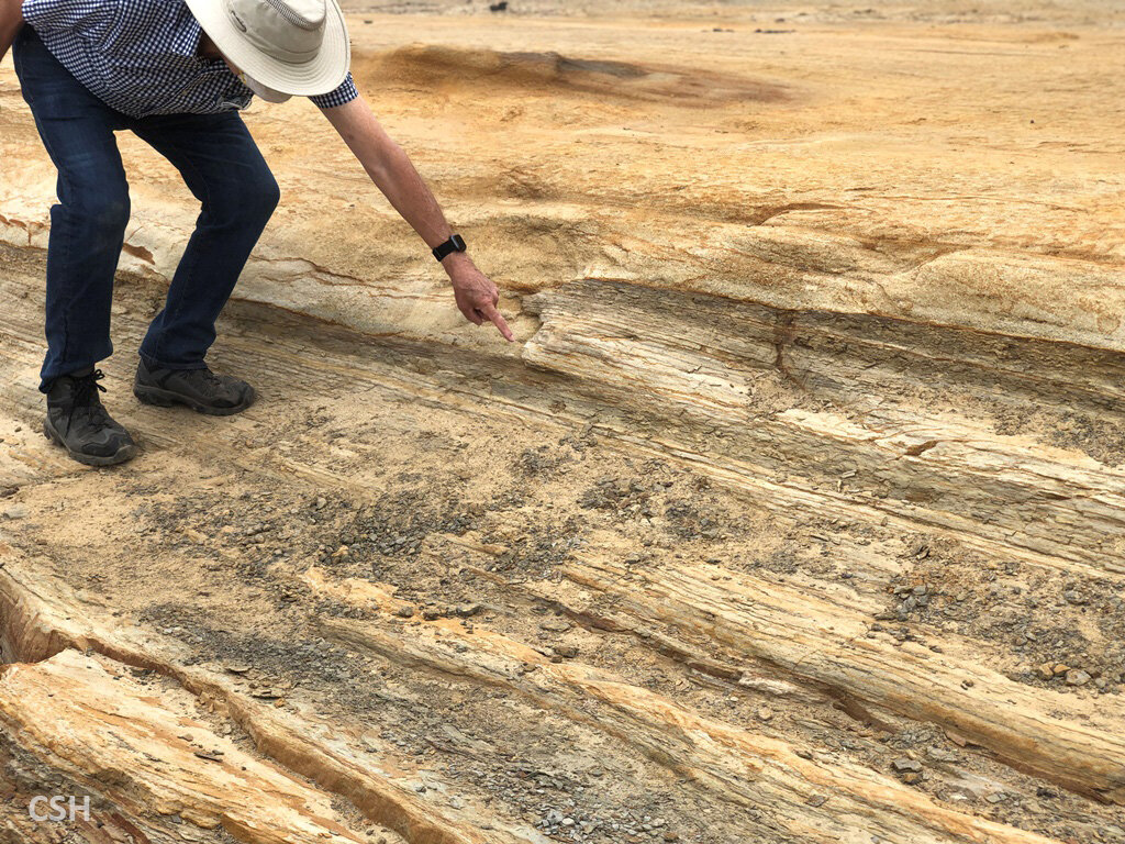
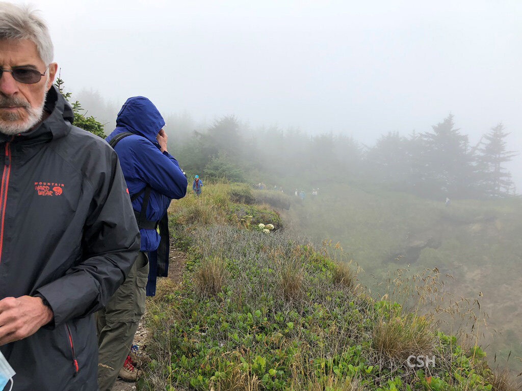
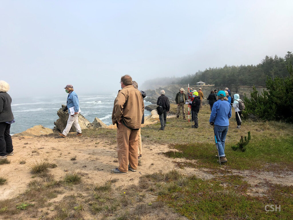
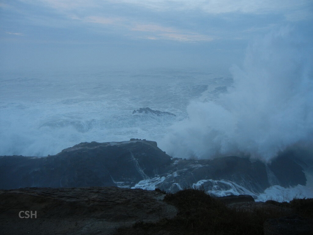
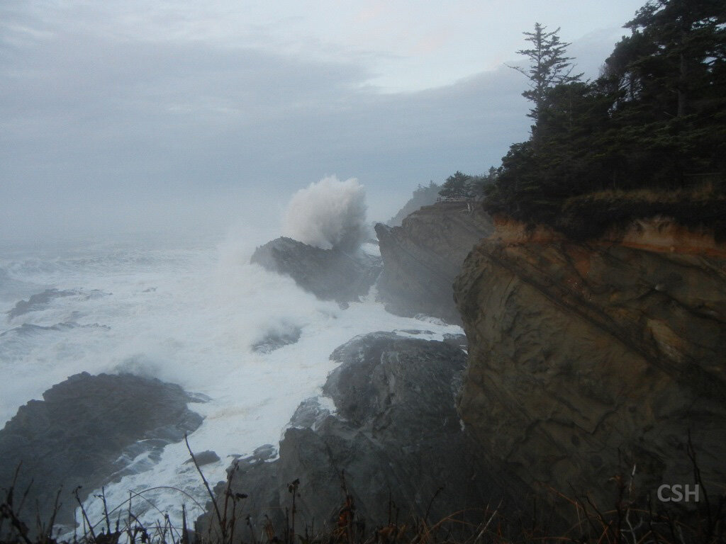
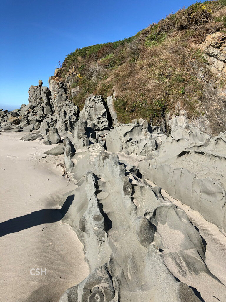
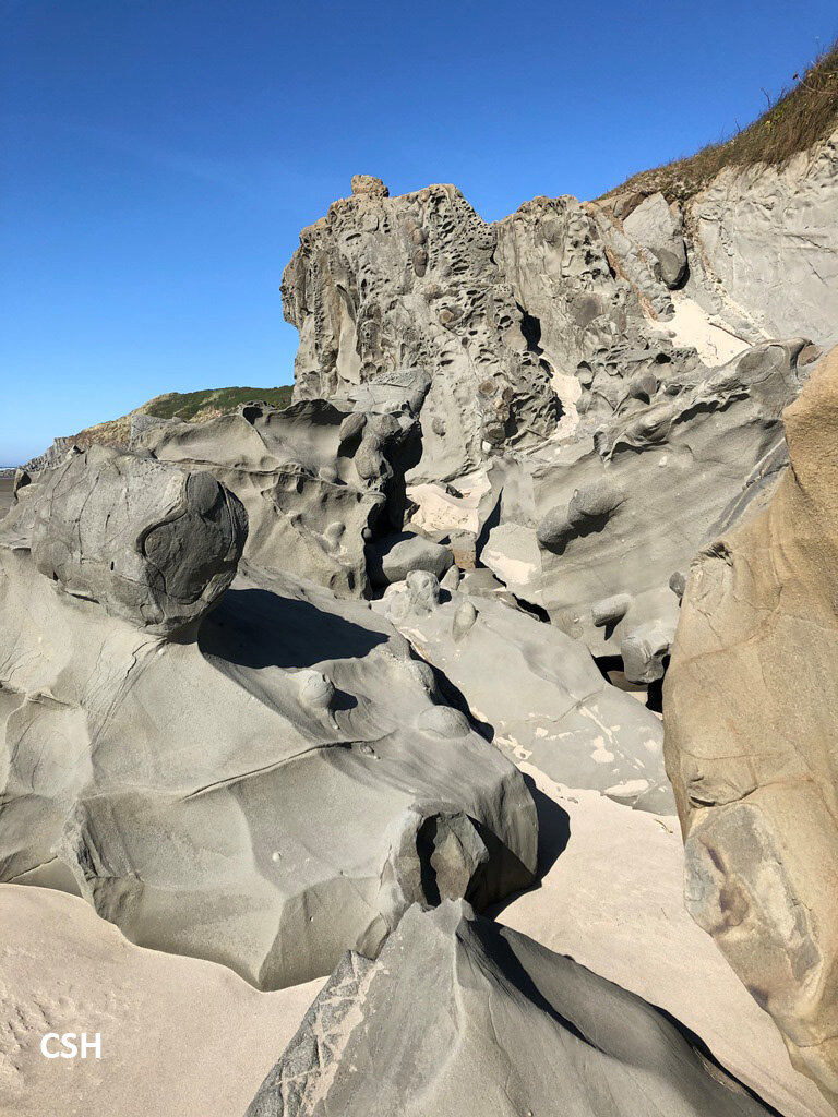
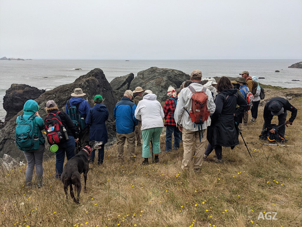
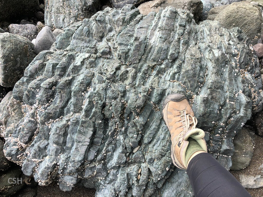
The group lunched at Shore Acres State Park between Sunset Bay and Cape Arago. This stretch of shoreline is famous for the massive waves that form here during storms. You’ve all probably seen Oregon calendars featuring this spot. But no giant waves were crashing here during the field trip, thank goodness! After dining on bagged lunches in this scenic area, the group walked north along the cliff edge to the edge of Bather’s Cove to the north of the gazebo in the park. Armentrout pointed out that the sandy layers in the Lower Coaledo found here have hummocky cross bedding patterns that indicate wave-worked material.
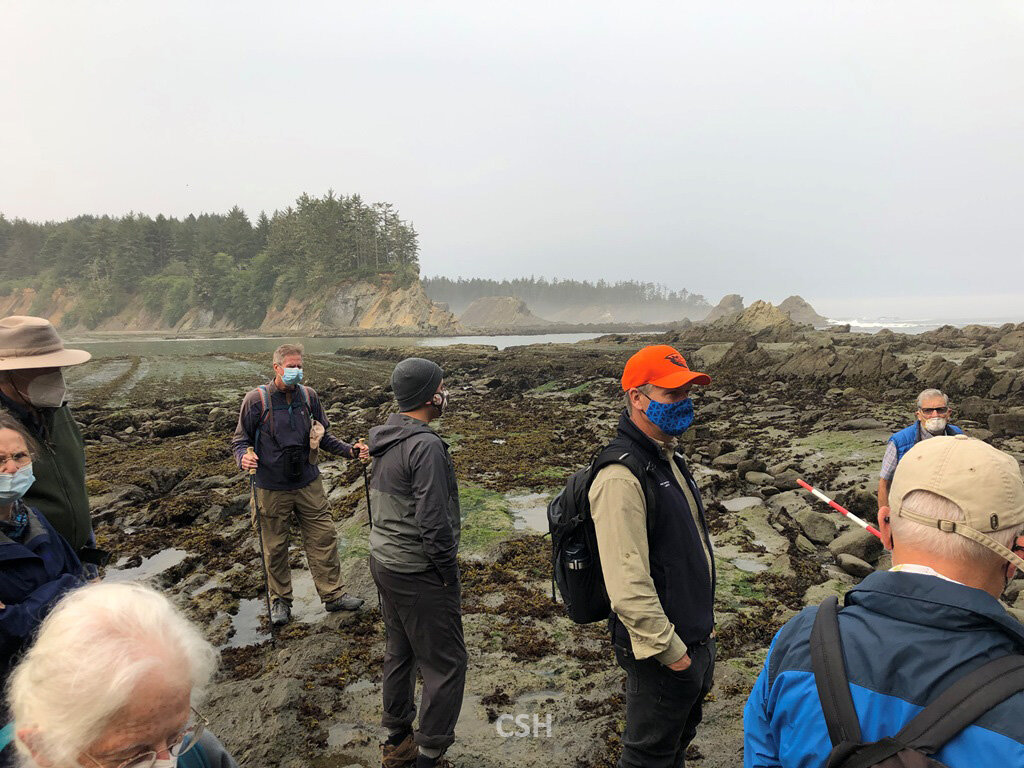
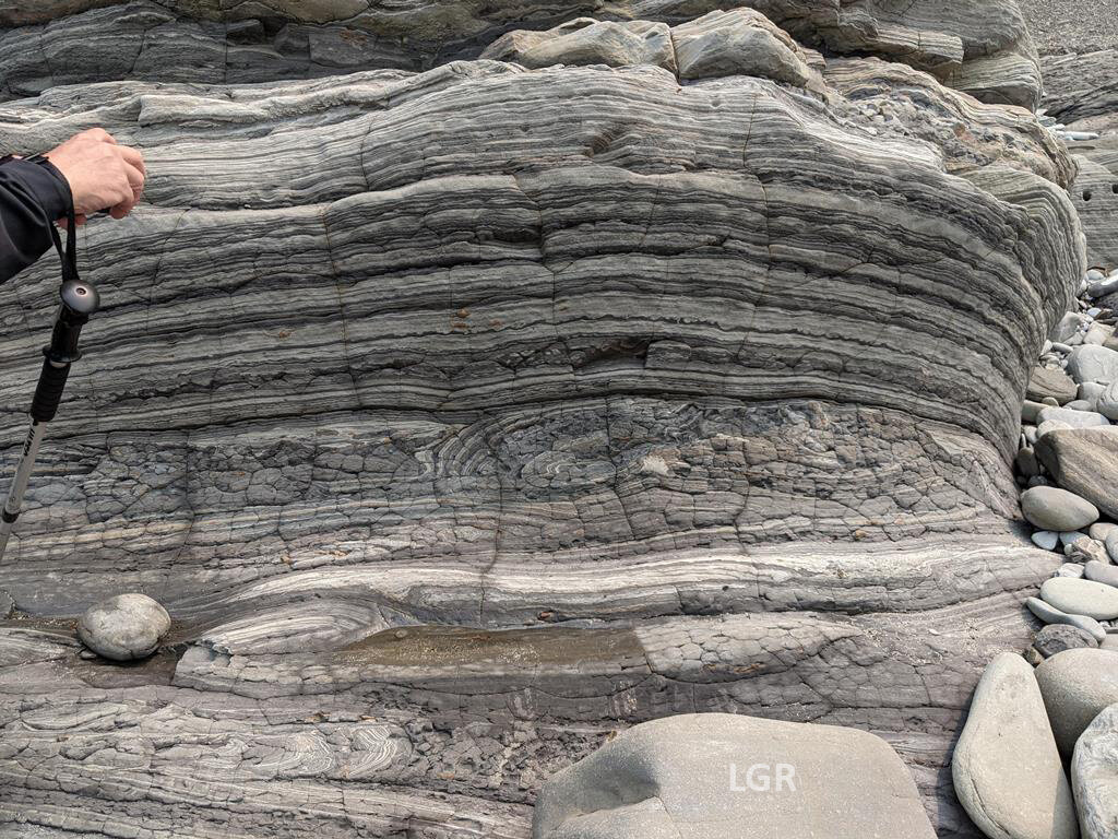
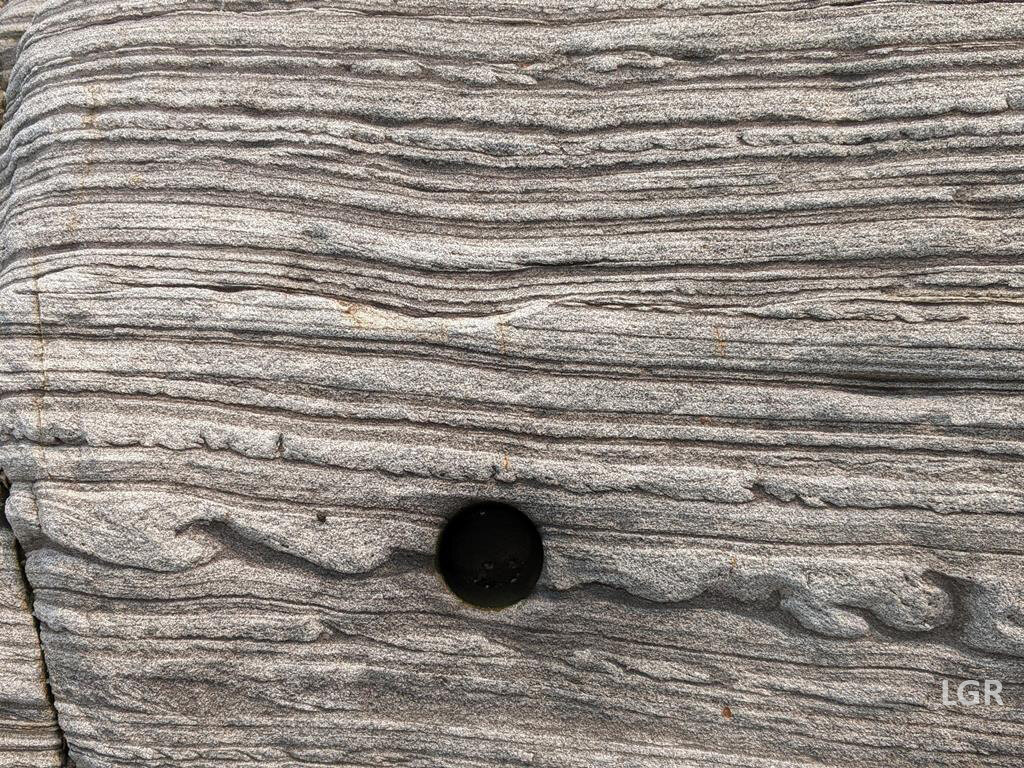
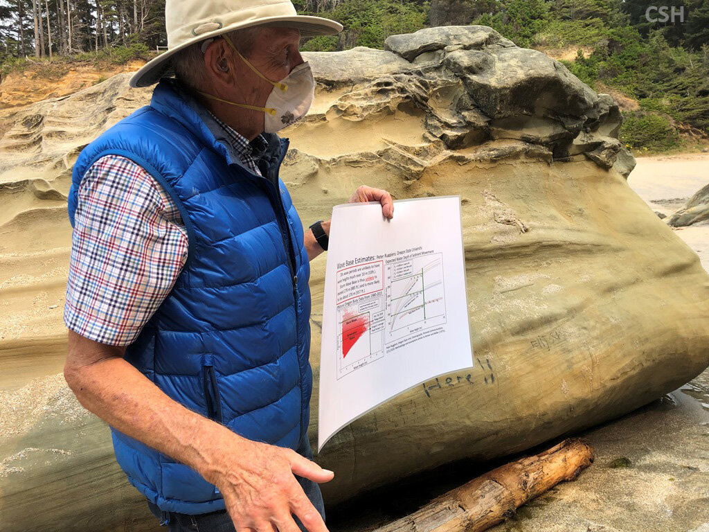
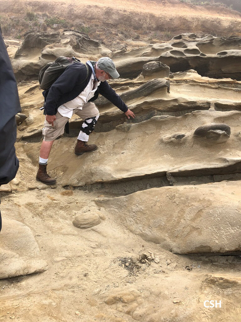
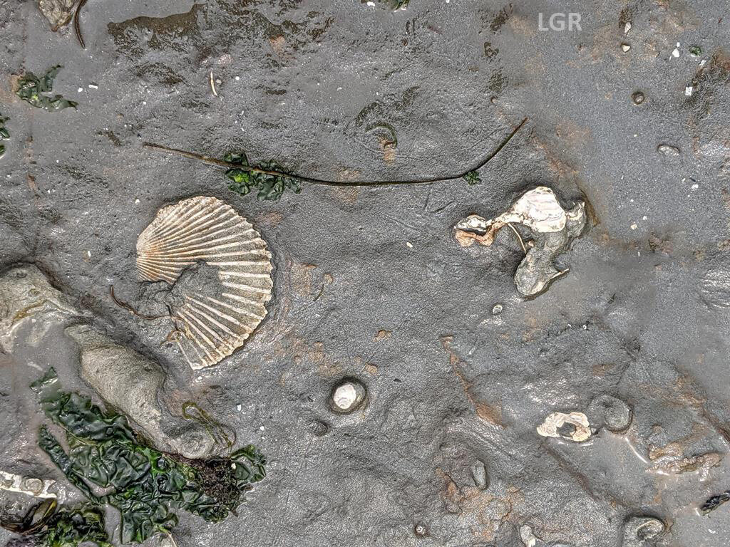
After this, the group walked back and headed to the beach at Simpson’s Cove south of the gazebo area. More hummocky layers were noted and Armentrout pointed out how sedimentologists determine the direction of transport from their shapes. Armentrout noted that the presence of hummocks indicates that the water depth at deposition has to be shallow enough for waves to affect it. There are many other indicators that the deposition water depth was shallower in this part of the Coaledo – shark and ray fossils, clams, etc. The waves will typically affect a certain distance below the water surface, but the research team must also consider the effect that climate has on wave height and depth. The warm Eocene climate probably produced some massive waves, so that hummocky bedding could occur a bit deeper than would occur today.
But there is a problem in that the foraminifera found (mostly in the mud adjacent to these hummocky deposits) are a deeper water variety, according to Carole Hickman of UC Berkeley and Kristin McDougall of USGS. There has to be some mechanism for these creatures to get closer to the surface in order for the environment to make sense to the research team. They are currently checking models of the Eocene to see if upwelling could account for the presence of the creatures.
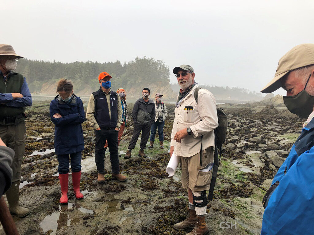
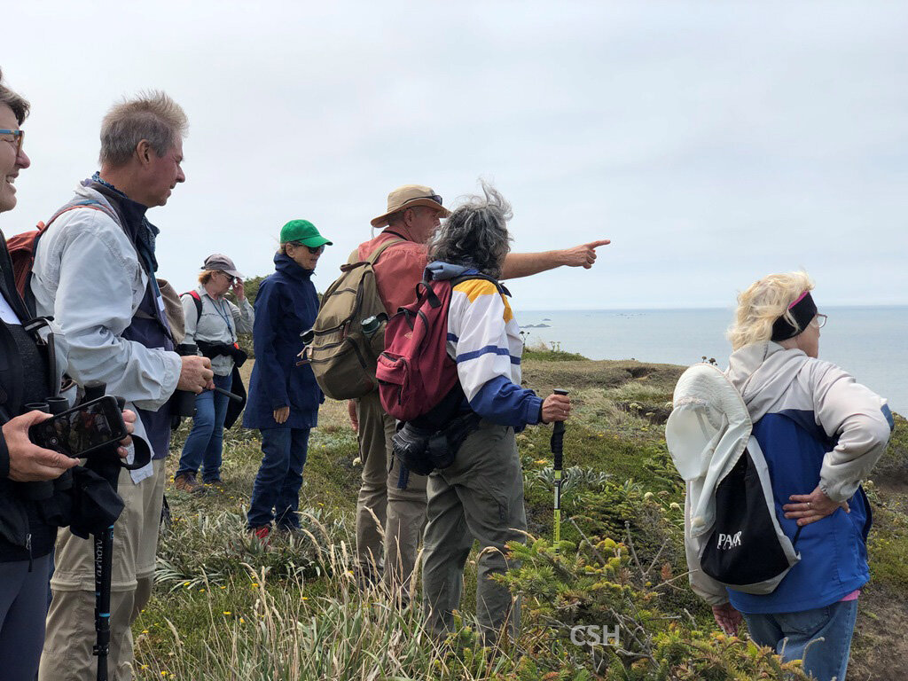
At some point in the day, someone asked Armentrout why the coves existed, and the answer is that they are the sites of strike-slip faults that run generally east to west through the formation. Armentrout’s colleague Laird Thompson, an ex-Mobil Oil structural geologist who also has been involved in the research team, has done an inventory of the faults and the stress regimes which created them. Interestingly, he found that the direction of maximum compressive stress has shifted from the east-west subduction zone-oriented stress of the Eocene to the modern north-south San Andreas Fault movement than is shoving western Oregon and Washington into Canada.
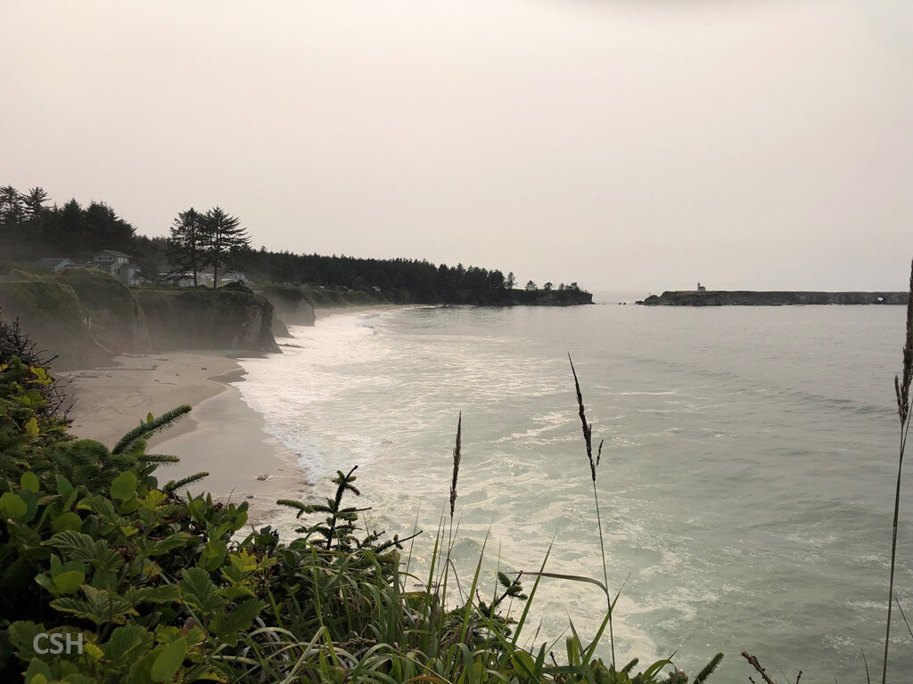
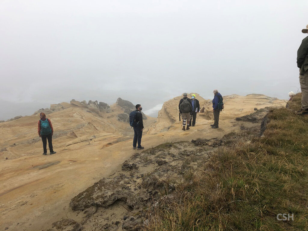
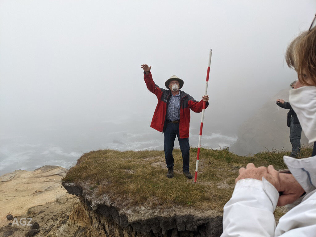
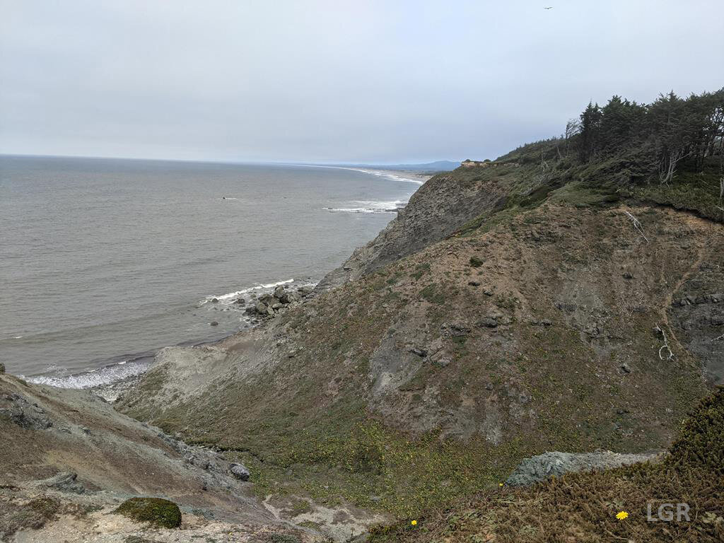
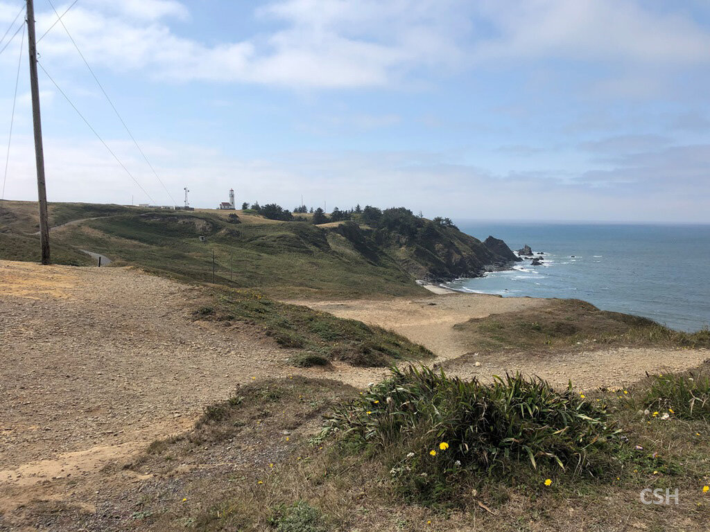
To finish off the day, complete all the stops of the tour, and give Armentrout an opportunity to leave early on the following day, the group did three more stops. At Yoakam Point, the group stayed on the cliff top and looked down Lighthouse Beach to the Cape Arago lighthouse. Directly around Gregory Point from the north arm of Sunset Bay, this beach also features Middle Coaledo parasequences. The three earliest sandy parasequence caps stand out in relief from the more easily eroded mudstone layers. Also, Armentrout mentioned that the Middle Eocene stratigraphic record contains tuffs from the earliest Cascade eruptions and that these were dated by research team member Michael Darin from University of Nevada-Reno. He told us to be on the lookout in the next year or two for some exciting research papers by Darin featuring the dating work he has done on this project.
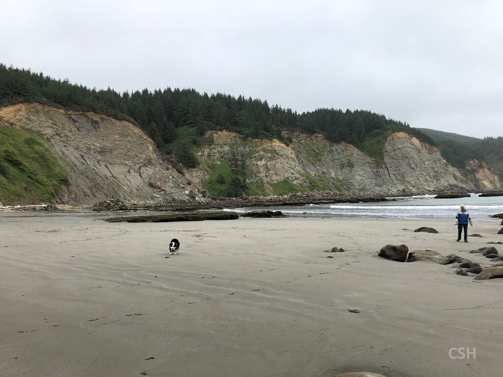
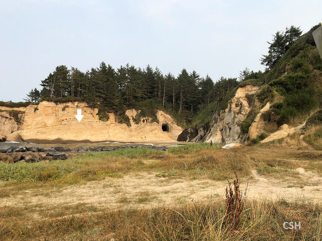
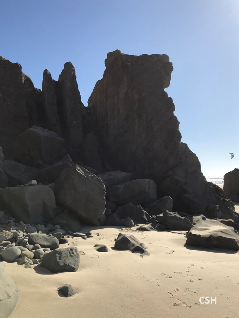
Next we visited Bastendorff Beach for a brief discussion about the Bastendorff Shale stratigraphy from the Oligocene. This area of the Coos peninsula had seen the most change over the 20th century due to the construction of the jetty enclosing the Coos Bay shipping channel starting in 1926. What used to be shoreline cliffs is now a vegetated bluff at least a quarter mile inland from the beach. There is a natural cave in this bluff which we did not visit.
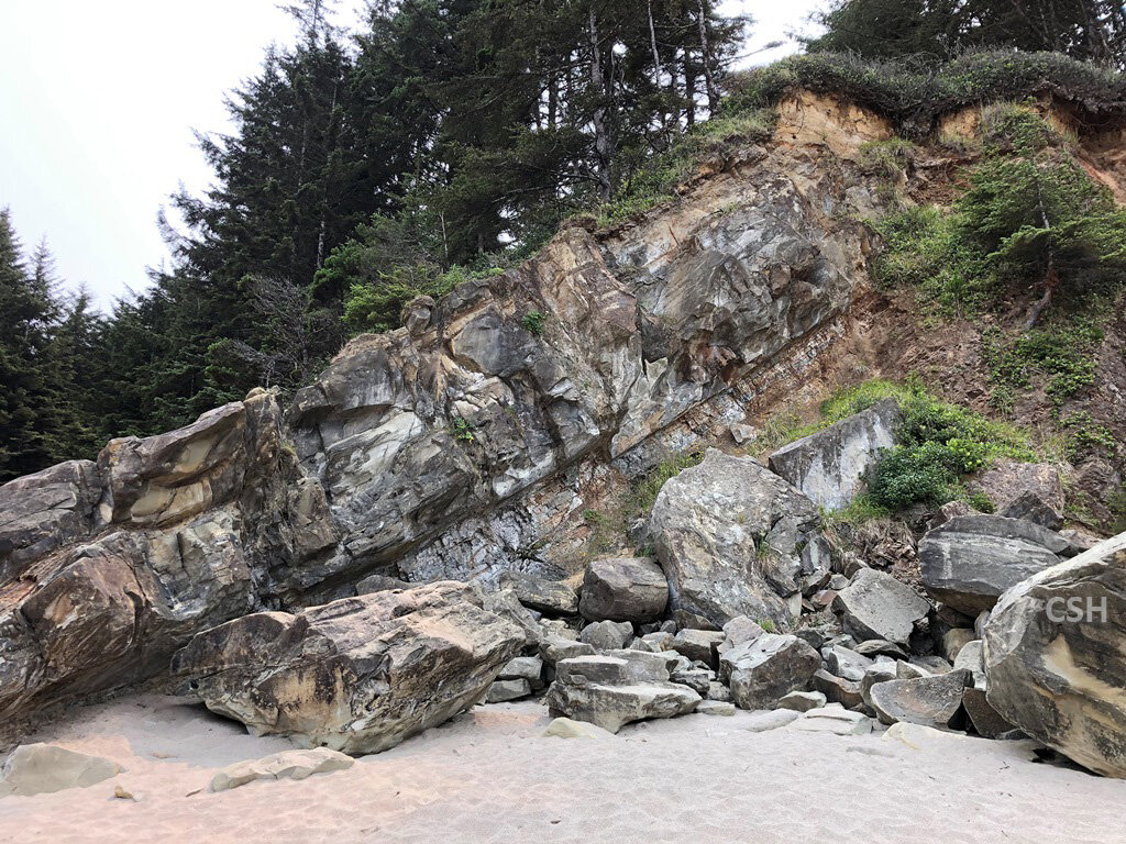
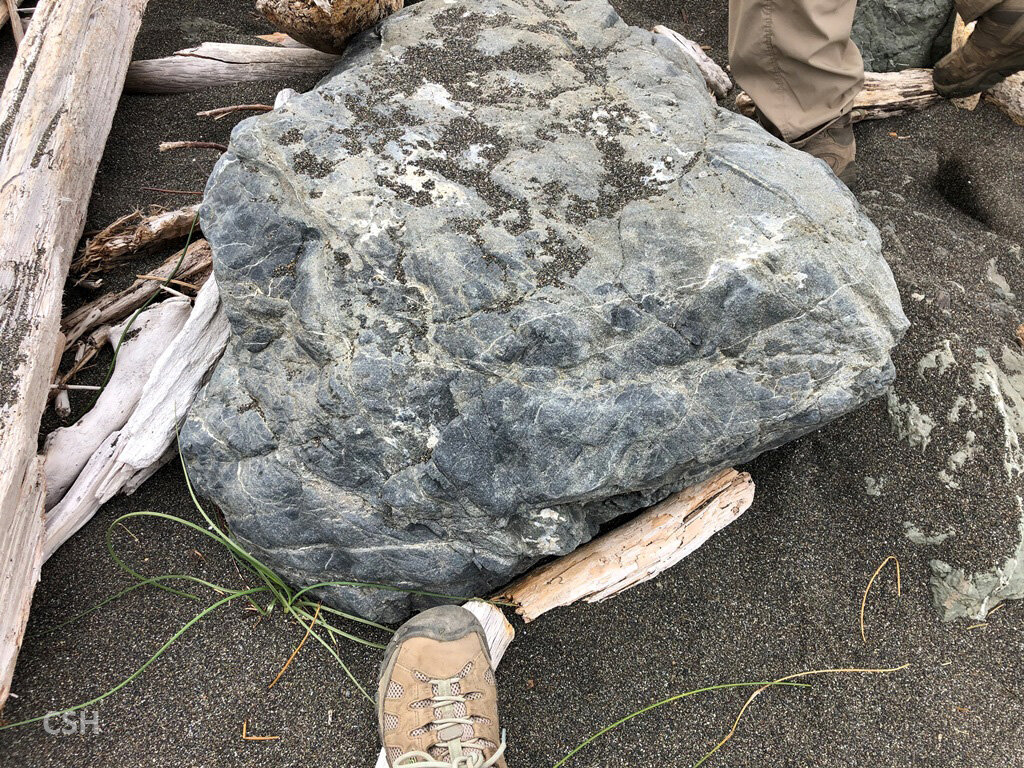
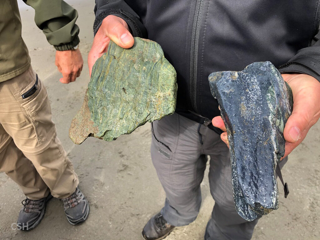
Our last stop was at the Coos Head and south jetty area at the north end of Bastendorff Beach. In the headland enclosing this area is a tunnel through which the Army Corps of Engineers brought huge boulders by rail for the construction of the jetty. All that remains visible of this work is the tunnel and a slab of concrete near the base of the headland. And of course, the jetty itself. The original rock used in the construction of the jetty is black basalt of the Siletz River Volcanics (Siletzia) and the newer rock brought in is blueschist from the Klamath Mountains, a metamorphic product of the Cascadia subduction zone. On the tunnel headland, one can see a layer of eight-million-year-old tuff running through about halfway up the cliff. This headland is part of the much younger Empire formation.
Return to the beginning of the article.
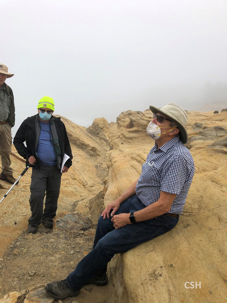
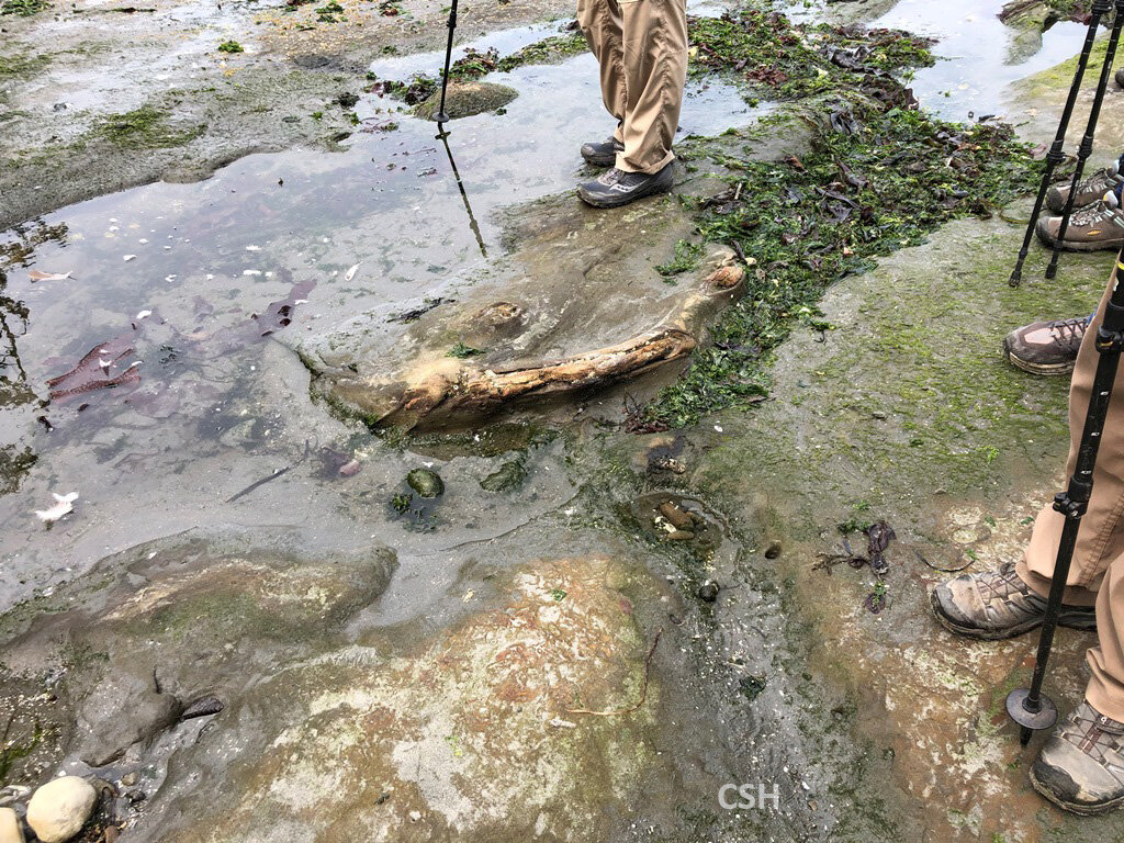
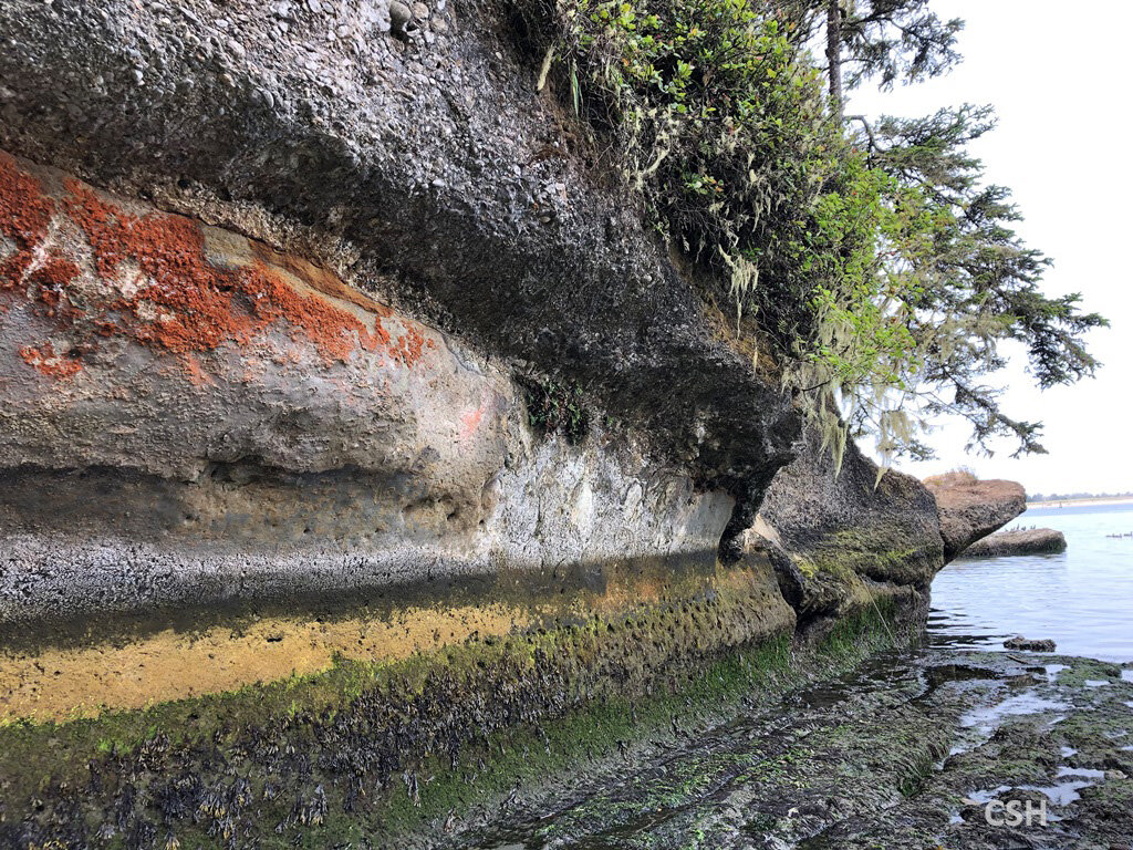
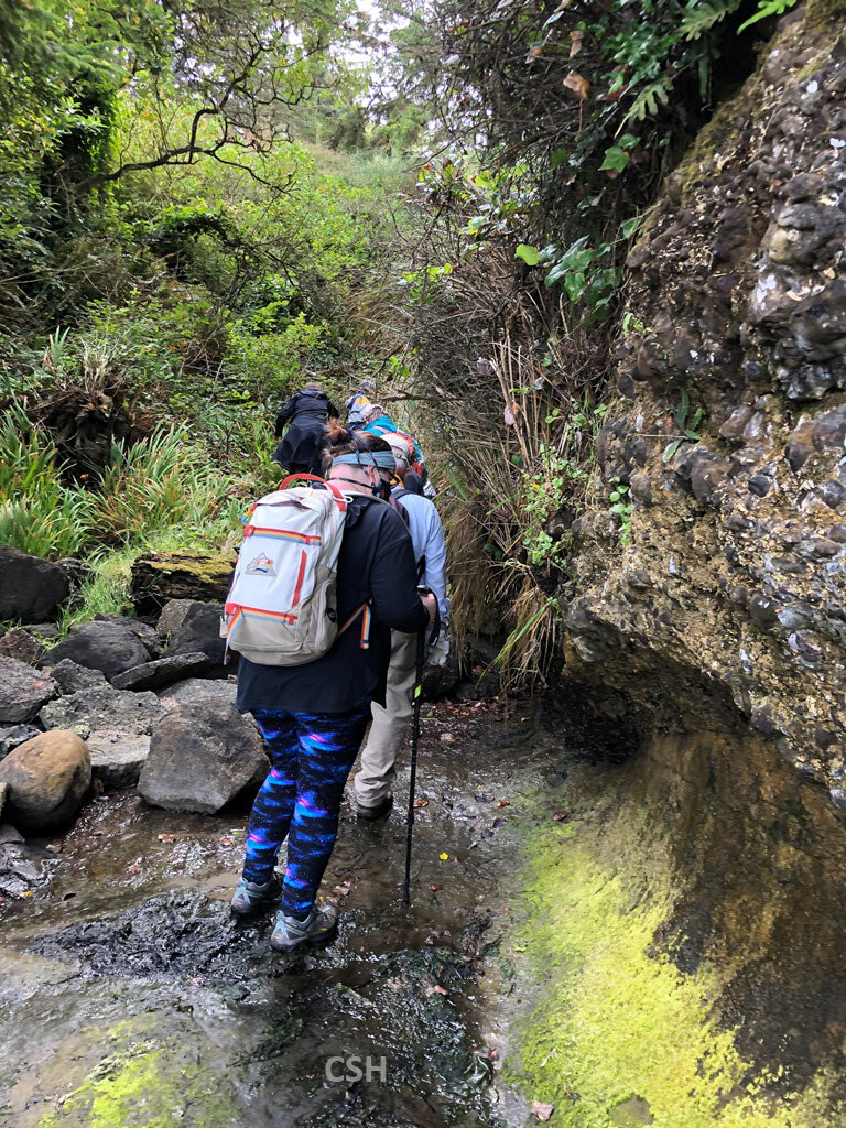
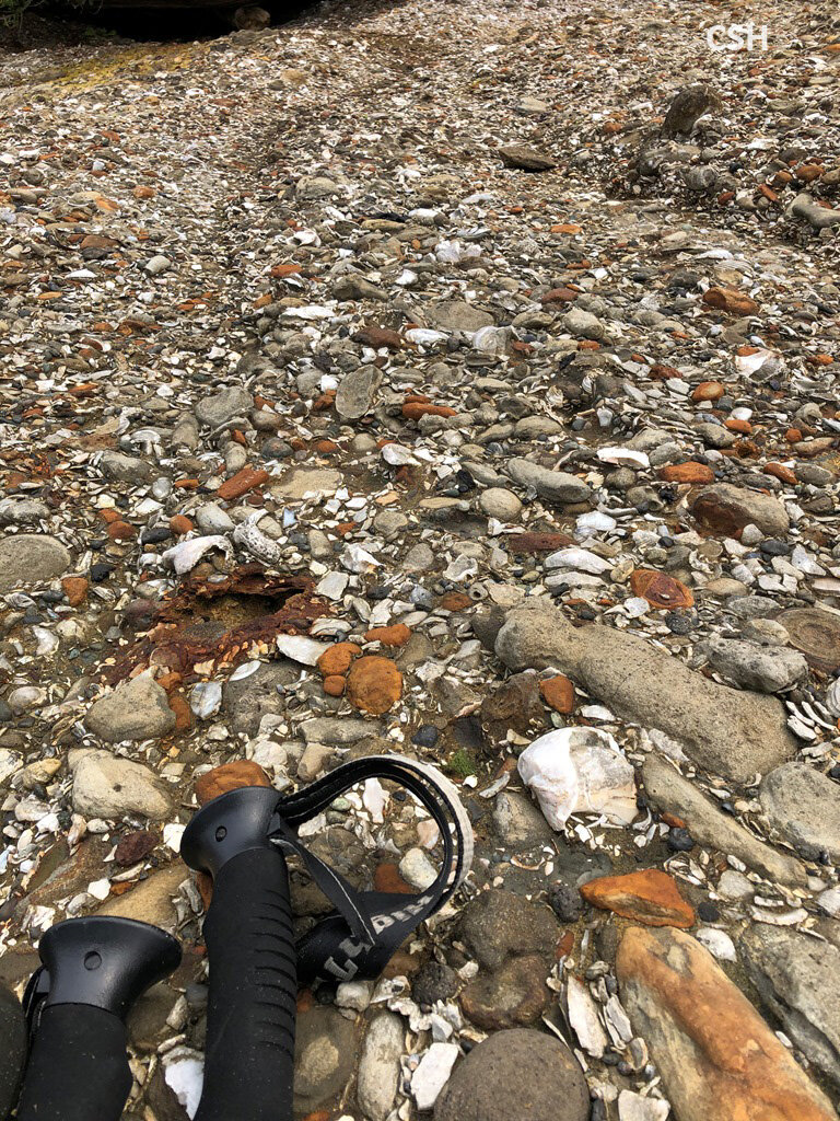
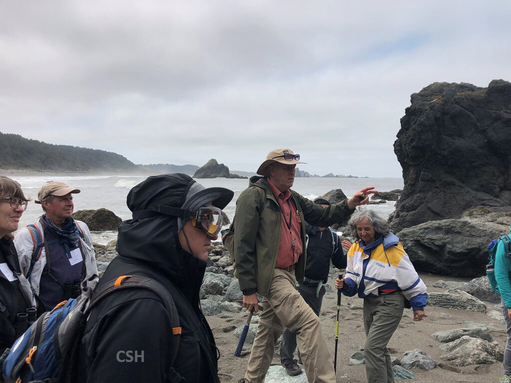
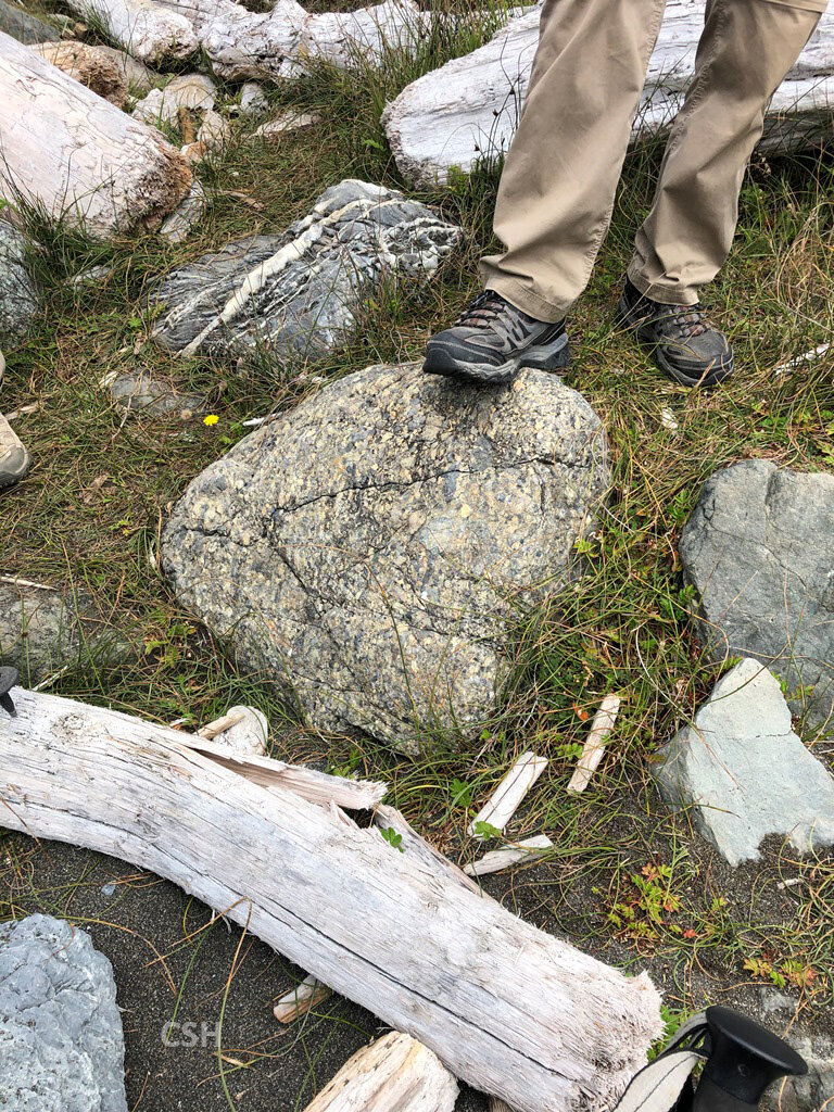
Pictures from Day 2: