The Geological Newsletter
March 9, 2025
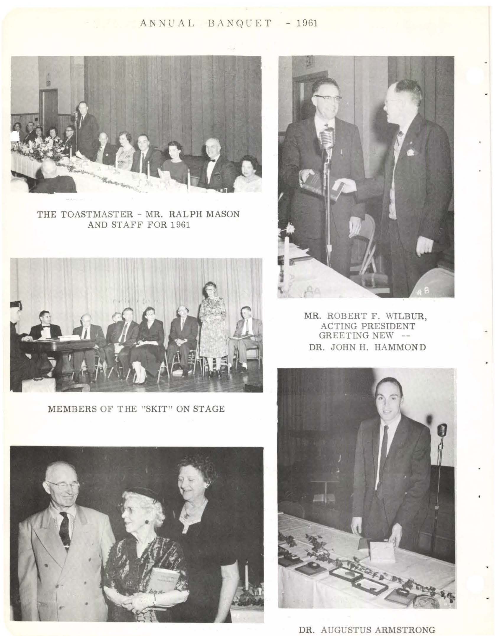
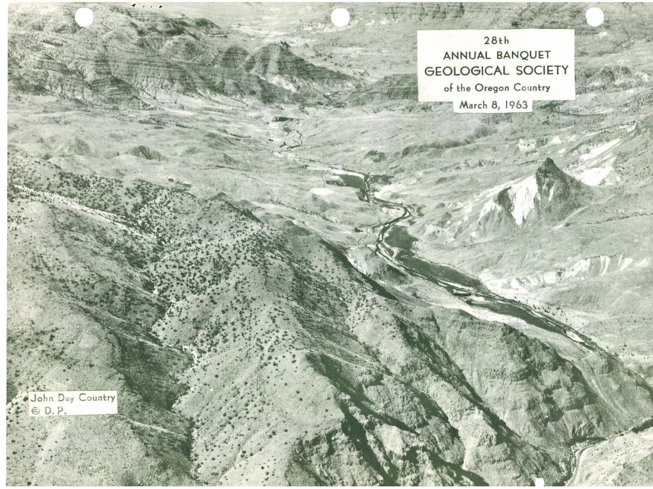
Attendees at the 90th GSOC Annual Banquet were treated to a fun and informative lecture by one of the country’s prominent petrologic mineralogists, Dr. Barbara Dutrow. She came to talk to GSOC about her passion for using the unique properties of the mineral tourmaline to further geologic research.
September 28, 2024
A significant portion of the terrain of Portland’s West Hills between Burnside Road and US 26 is ancient and active landslides. Dr. Scott Burns, professor emeritus of Geology at Portland State University, took GSOC participants on a field trip exploring this terrain and observing the mitigation methods used over the years to try and arrest the sliding and damage. Dr. Burns has trained quite a few geologists about landslides over the years he has taught at PSU, and many of his students are now cataloguing and mitigating landslides throughout the Pacific northwest and other areas of the country.
June 7-9, 2024
In the June 2024 field trip, GSOC participants were treated to explore some of the geological fieldwork and mapping done by Jason McClaughry and field trip leader and GSOC Past President Clark Niewendorp of DOGAMI over the years 2014-2020. The main subject of the field trip was volcanic materials that originated in the Mt. Hood area of the High Cascades and were deposited on the eastern flanks of these mountains in Wasco County between The Dalles and Tygh Valley from the Late Miocene onwards. All this volcanic material is underlain by a platform of Columbia River Basalt. Also, the group examined the effects of folding and faulting associated with the Yakima Fold and Thrust Belt. Late Pleistocene surficial deposits – notably wind-blown loess and megaflood sediments – completed the surface geology they saw in the area.
Another important long-time GSOC Past President has passed away. Rosemary Kenney (1926-2024) would have been 98 years old if she had lived 6 more days. She was also GSOC’s longest membership at the time of her death, having joined the society in 1962 (according to her presidential write-up). Rosemary was GSOC President in 1989, which, unsurprisingly, was also the year she retired.
Rosemary was a strong and independent woman who loved to travel. Rosemary Richartz was born on a dairy farm in Touchet, Washington, and was the valedictorian of her high school in Umapine, Oregon. She then attended Oregon State University and received her BS in Home Economics in 1948, then a certificate in Food and Nutrition 1949. She used this education to become a dietician, a ubiquitous profession which proved to be a handy career for someone who loved to travel.
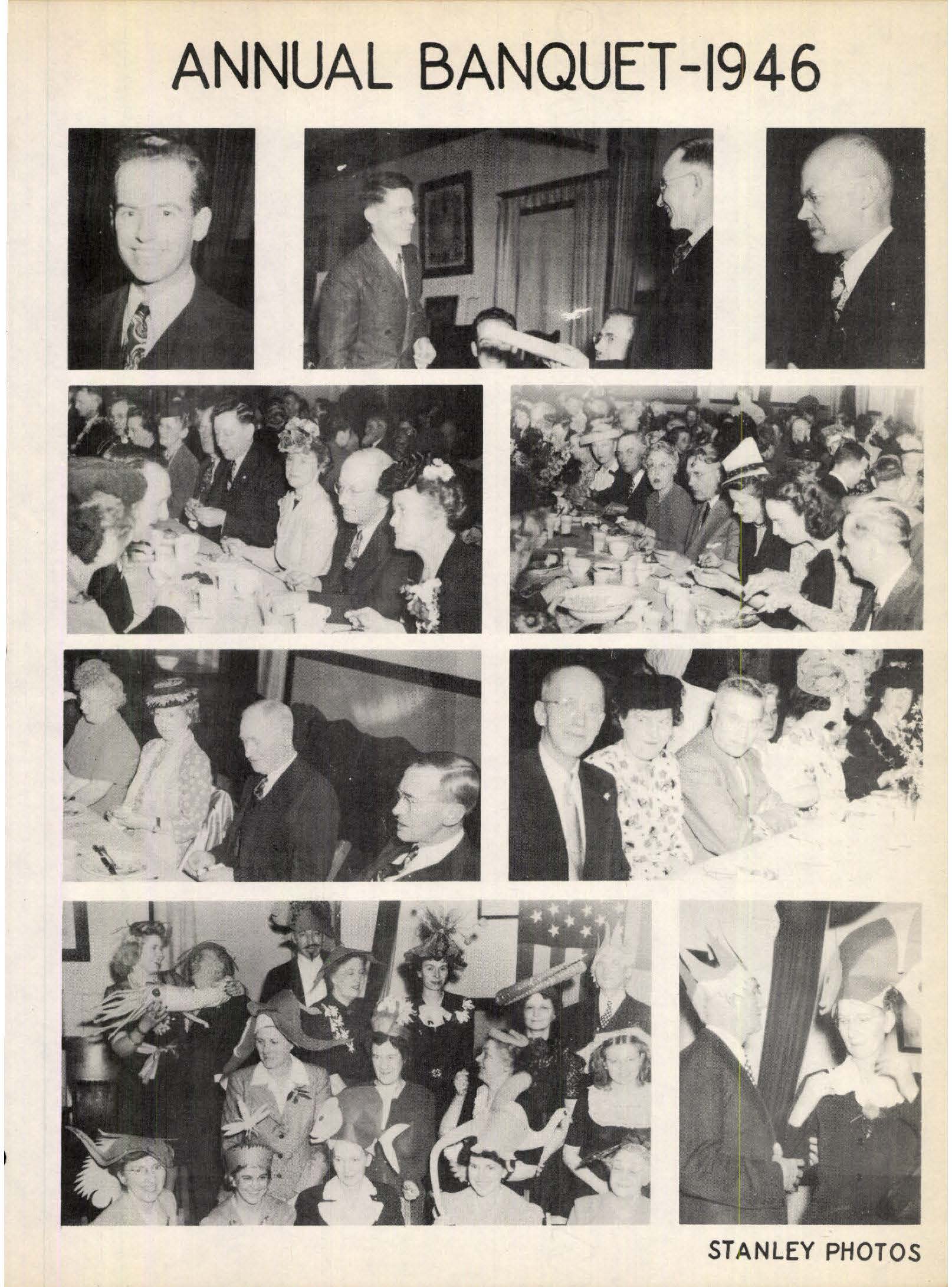
The GSOC 89th Annual Banquet event at McMenamin’s Kennedy School in Portland proved to be one of the most successful events we have had in the past decade.
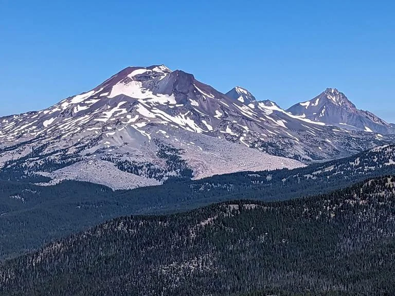
Sheila Alfsen and Daniele Mckay led us on this 2 day field trip with picture-perfect weather. Why the name “Two Cascades”? We drove through the eroded steep sections of the older West Cascades, then went on to the High Cascades to Bend to explore the area around Mt Bachelor. A highlight of the trip was the view from mid-way up Mt Bachelor.
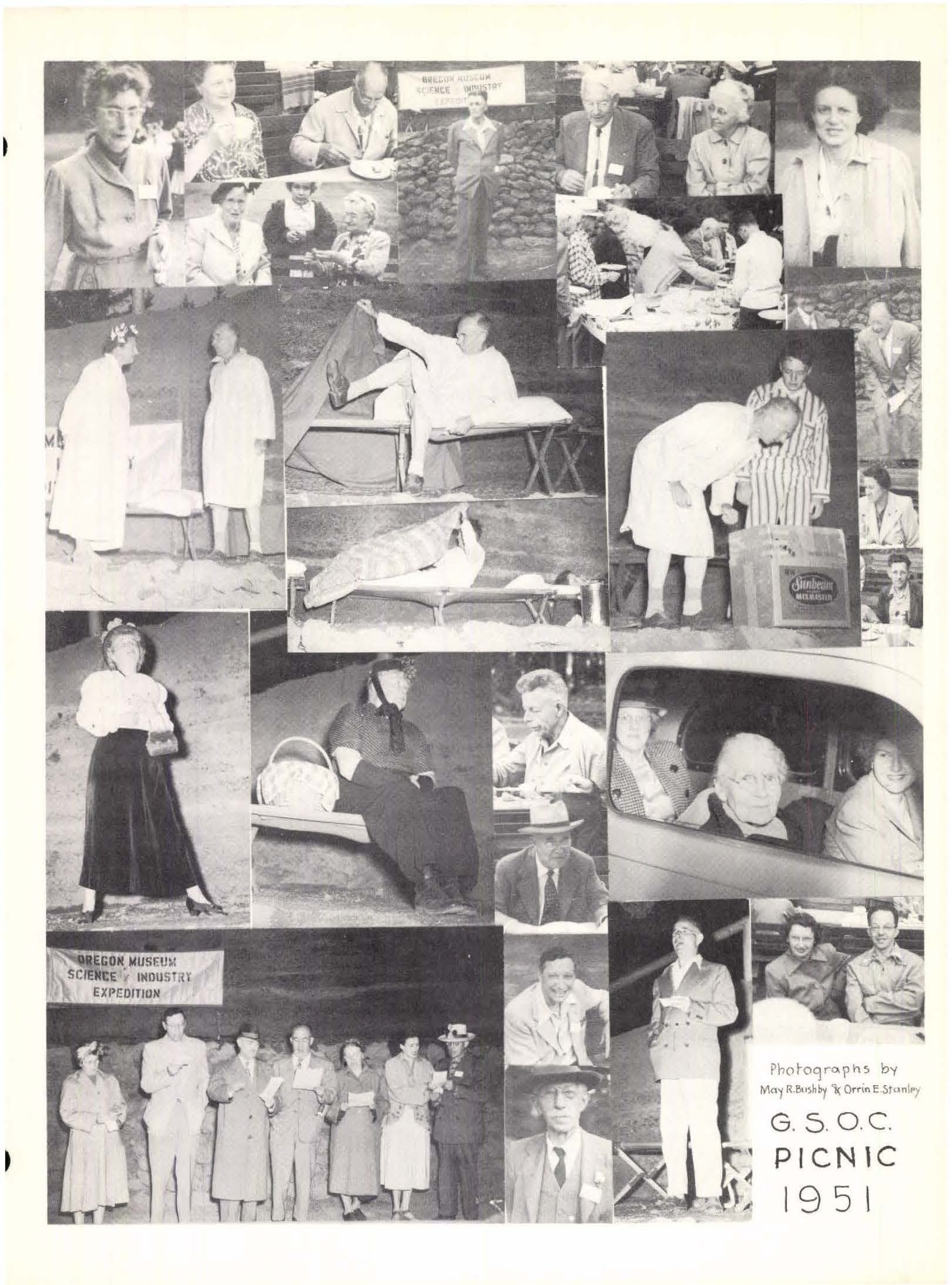
The GSOC Annual Picnic enjoyed a good turnout this year at Beacon Rock State Park in the Columbia River Gorge. GSOC had not sited the picnic here for over 20 years, and members agreed that this was a very good venue for a picnic. Not only did the site have a serviceable enclosed shelter building, but also a great view of some outstanding geology – Beacon Rock, a remnant of the last known outpouring of Boring lava, dated at 58,000 years ago.
This trip began in the mind of GSOC member Dr. Benjamin Sloan after he joined the society last year and participated in the Coaledo trip last summer. By September he was emailing me and asking whether we would consider doing a trip to Crater Lake. I replied that we’d consider the trip, then added a long list of logistical considerations that needed to be worked out, thinking that would be the last I’d hear from him. Well, one month later he had researched the technical papers, gone to Crater Lake to research lodging and travel routes, and sent me a list of tasks he’d completed. Turns out that Ben has been planning field trips worldwide and teaching geology for years as well as doing oil exploration.
story text by Carole Miles
photos by Carole Miles, Denny Chamberlin, and Kate Ely
The Strawberry Mountain fault was discovered in 2019 by DOGAMI’s Ian Madin upon reviewing new LiDAR maps of the area. Andrew Dunning, looking for a project for his master’s thesis at Portland State University, realized that a lack of high-quality seismic data in this area of Oregon may have erroneously led to an inaccurate assessment of the seismic risk in Eastern Oregon on the USGS National Seismic Hazard Map. He has been working on gathering data related to timing and offset of the Strawberry Mountain fault for the past two years. He was excited to take GSOC members into the field to show us what he has learned.
Recap of the GSOC Willamette East Bank Bike Geotour - June 26, 2022
GSOC participants of the 3rd Eastbank Bike Geotour field trip met on the morning of Sunday, June 26, in order to complete the tour before the 90+ degree temperatures of the hottest day of the year (so far) set in. This tour had not been run in three years due to the pandemic, and the leaders included Ian Madin, who just retired from DOGAMI, and Dr. Lalo Guerrero, who teaches geology at Portland Community College. Take a journey with the group and think about biking it for yourself!


